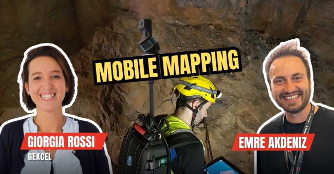
Mobile Mapping
Find the latest mobile mapping trends, news, softwares, equipments and examples. Learn more about mobile mapping.
What is SLAM and How Does It Works?
By
SLAM (simultaneous localization and mapping) is a process used in robotics and autonomous systems to construct a map of an…
3 min read
333 reads
What is Mobile Mapping?
By
Mobile mapping is the process of collecting geospatial data by using a mobile vehicle equipped with a laser, GNSS, LiDAR-system,…
2 min read
244 reads
Mobile Mapping Market Has a New Player! “FAR…
By
It was not a surprise for the industry. The mobile mapping market is growing day by day. And it seems,…
< 1 min read
55 reads
Webinar: The Rehabilitation Of A Railroad Tunnel U…
By
The Essential Support Of 3d Technology In Infrastructure Projects The survey of railroad tunnels is deemed to be critical for…
2 min read
186 reads
Process Large 3D Datasets from Mobile Mapping Syst…
By
The latest version of Gexcel’s lidar processing software makes a step forward into the processing of large datasets from various 3D…
3 min read
587 reads
Mobile Mapping Helps Planning the Security of Publ…
By
Nowadays, the measures to take action in public events have gained more importance than in recent years. We could say…
3 min read
915 reads