

This is a list of free satellite imagery providers. In fact, these sources helped many of professionals daily. So if you want to discover satellite imageries from all over the world. you’ll love this list. And also all are downloadable!
Let’s get started
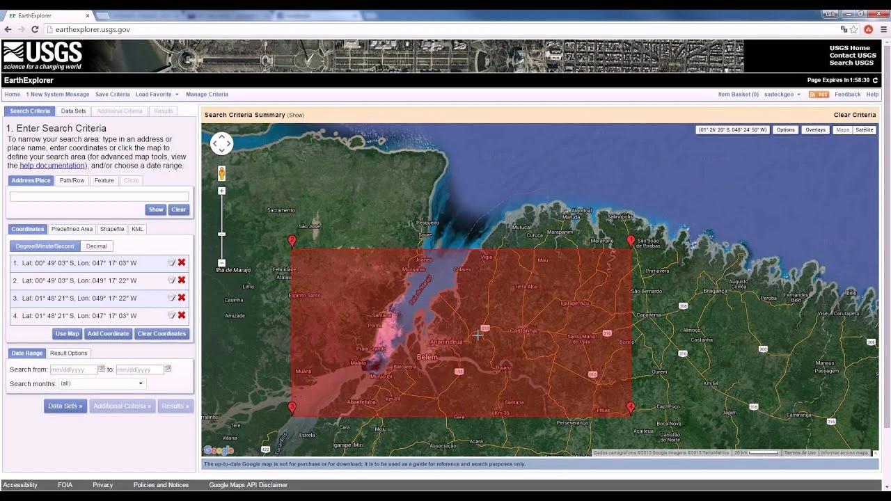
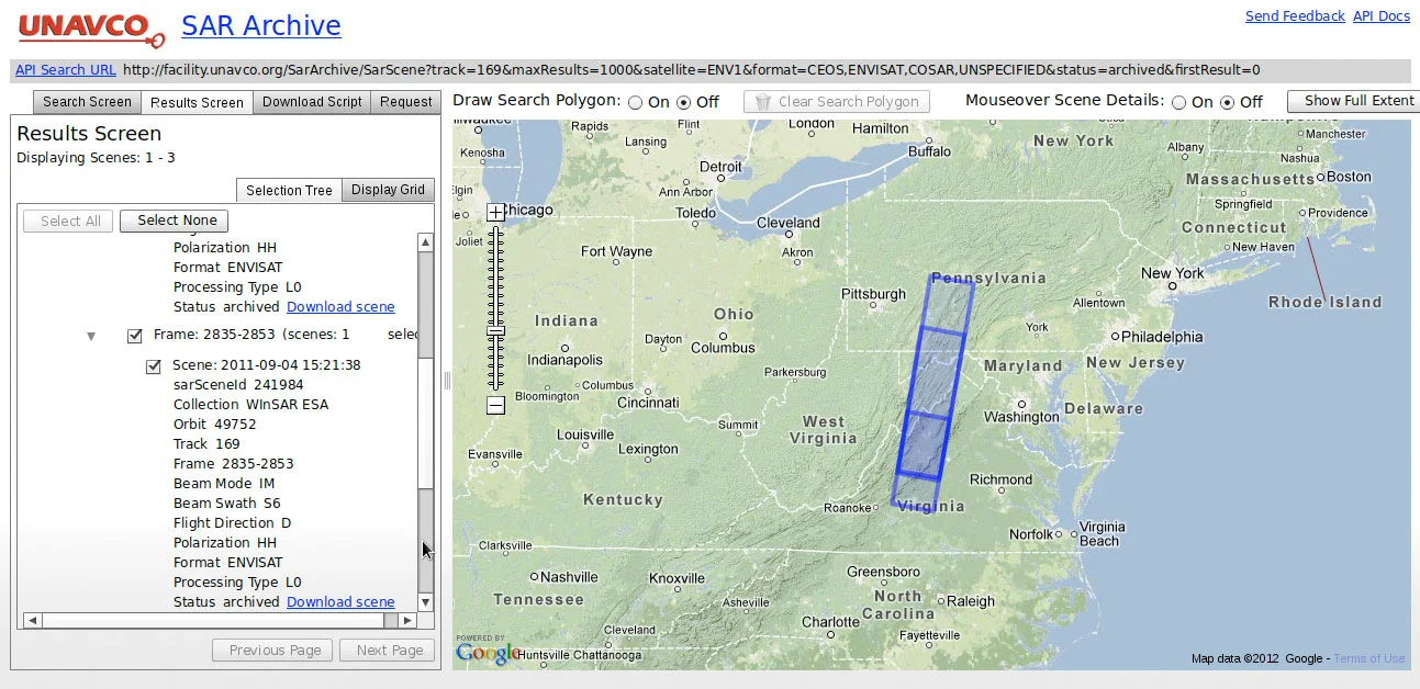
USGS Earth Explorer is the one of best satellite imagery source.Thats why it’s not just for the United States. You can choose and download any imagery.
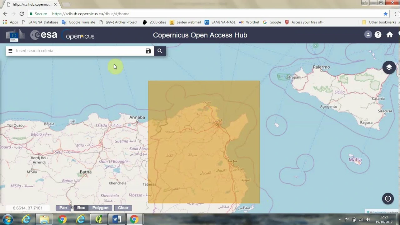
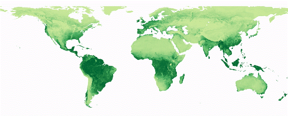
Sentinel-2 has open and free satellite imagery data. You can also download recent photos with high resolution.
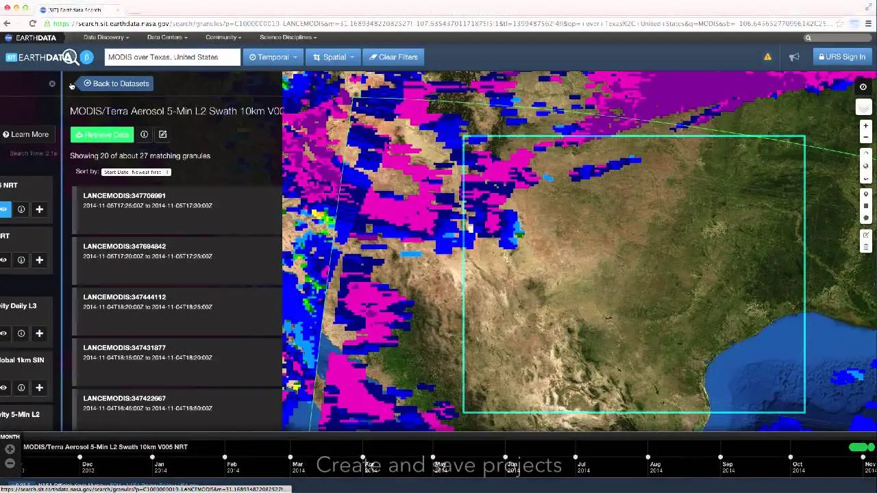
There’s a lot to like about NASA’s Earthdata Search, specifically for Earth science data discovery.
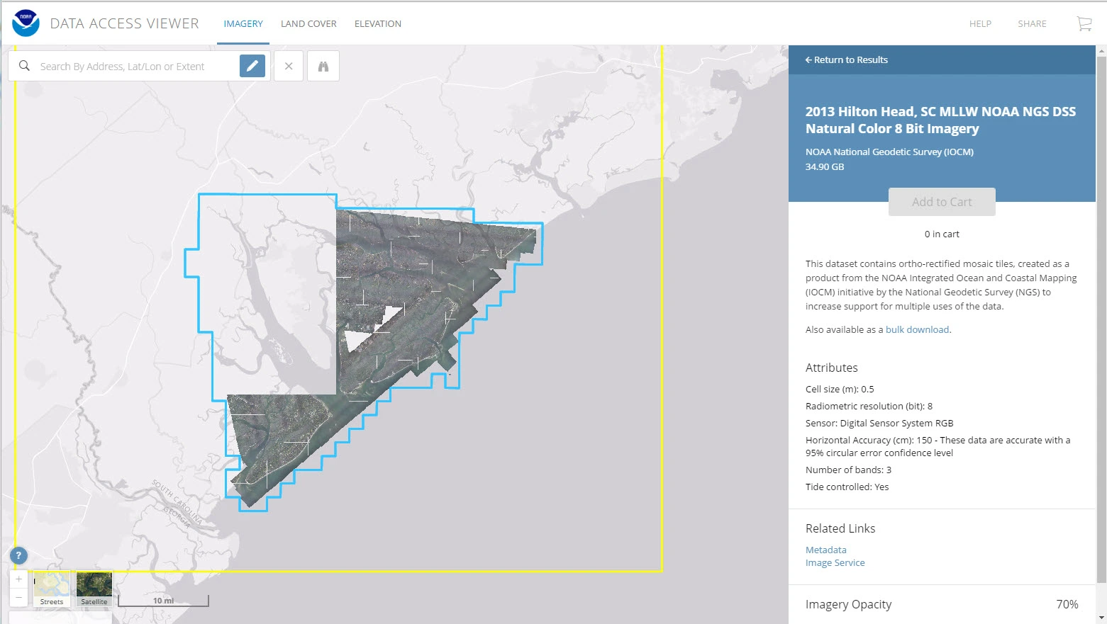
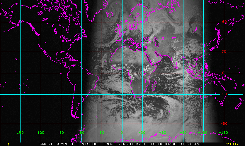
Another one is NOAA Data Access Viewer. You can discover authoritative datasets along the coasts. It’s not only for satellite imagery.
You should try Open Data Program. If you want to get high-reosolution satellite imagery.
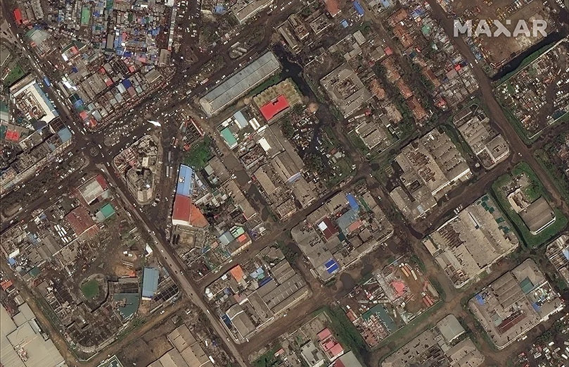
Similar to Maxar,
We recommend you to use NASA Worldview to find scientific products.
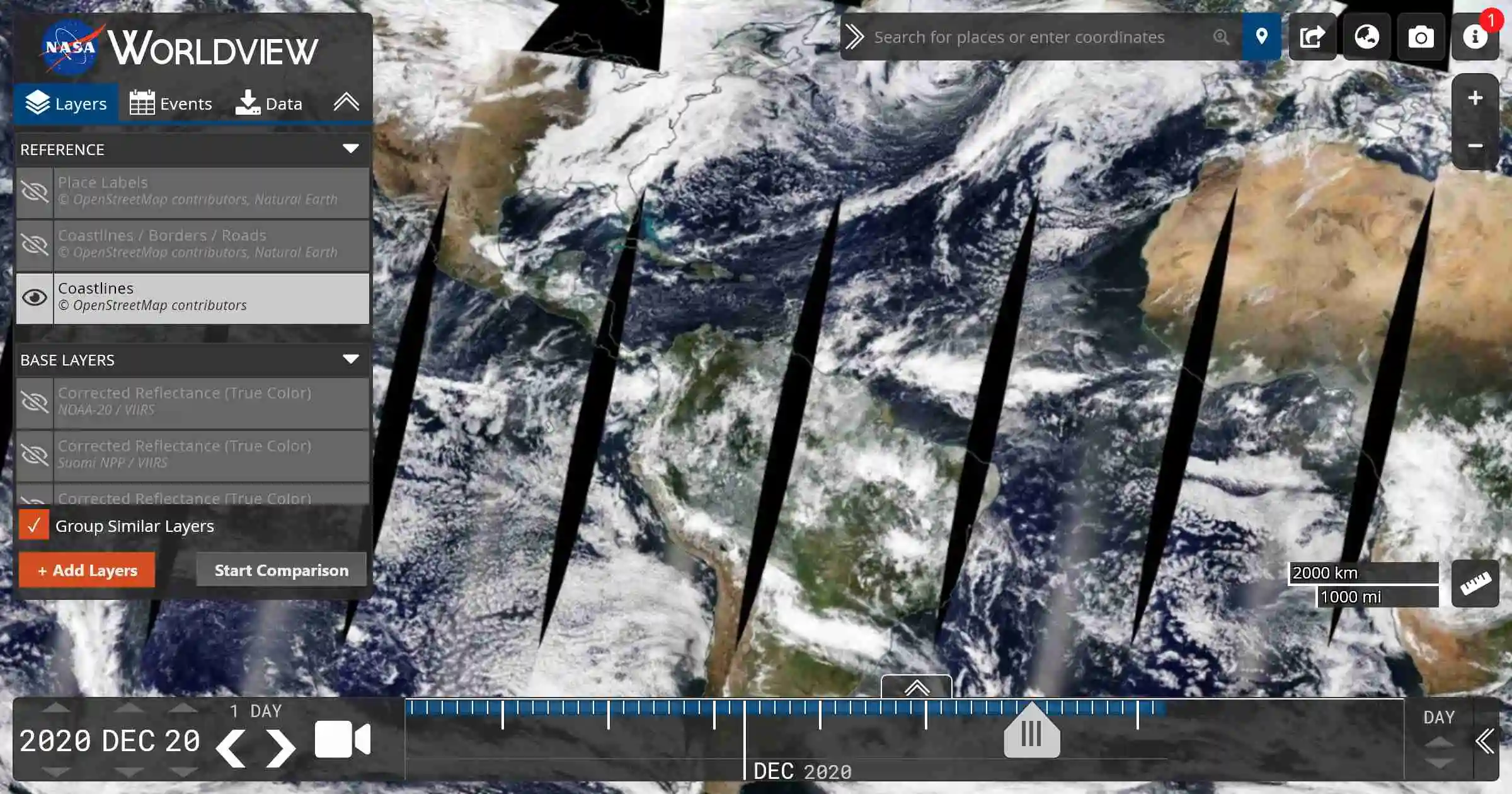
Here you can find: Oceanic Imagery, Atmospheric imagery and Climate
The National Institute for Space Research (INPE). (Brasil)
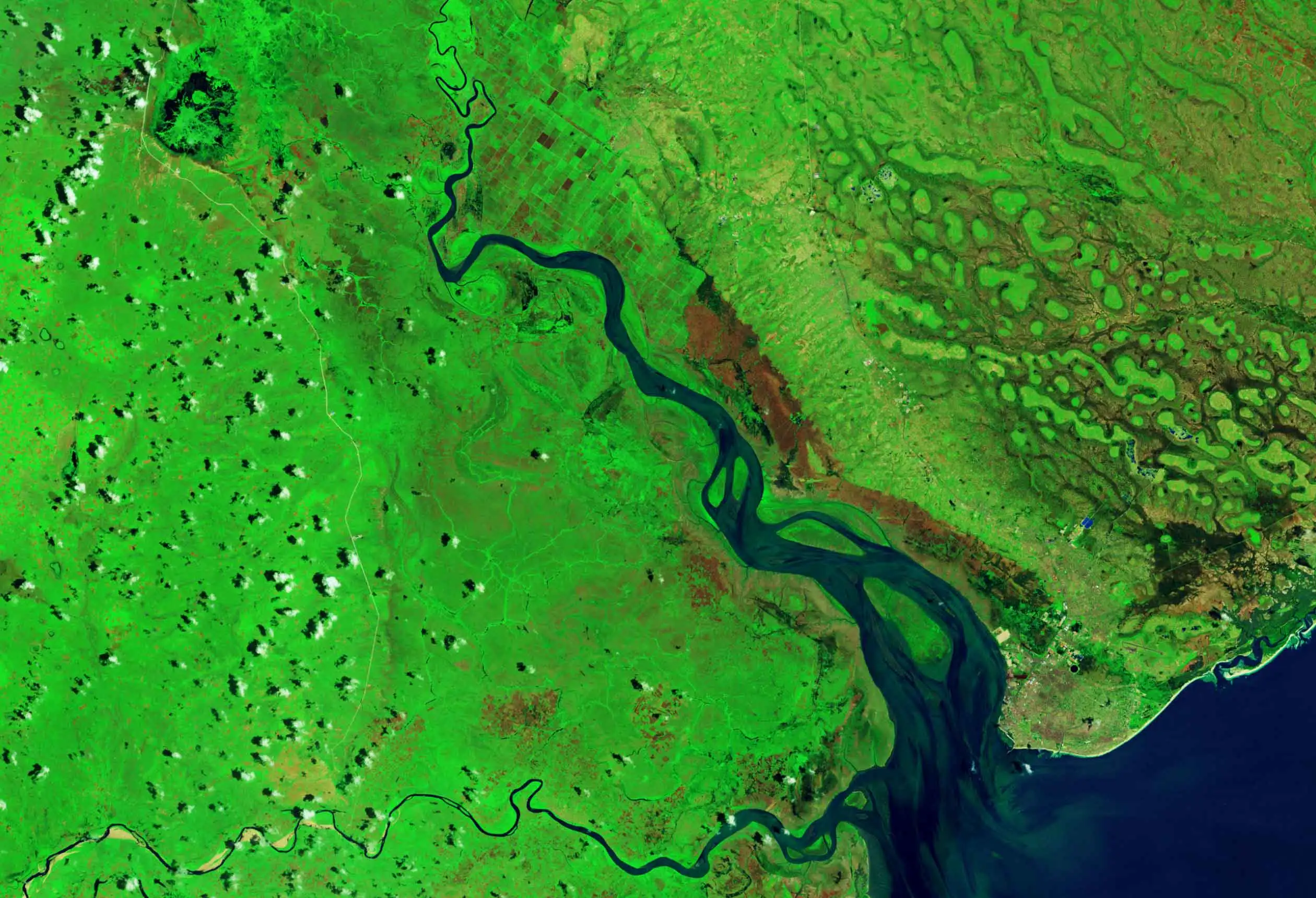
The National Institute for Space Research (INPE). (Brasil)
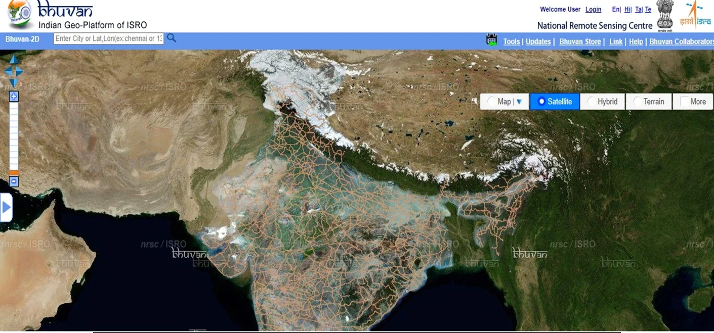
If you need data from india, you can use the ISRO
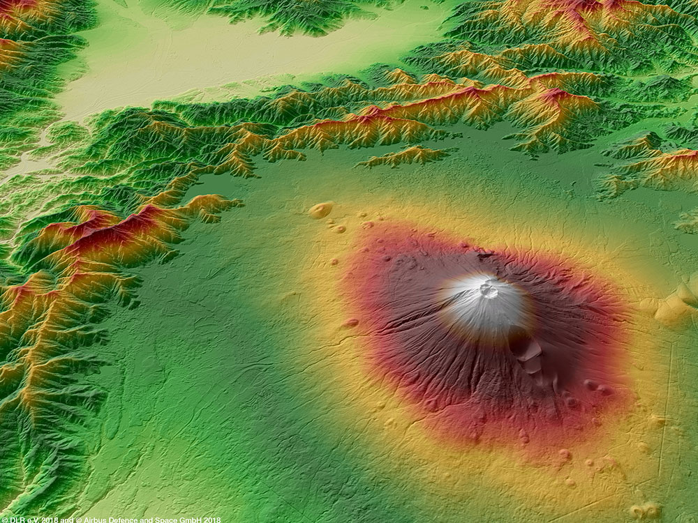
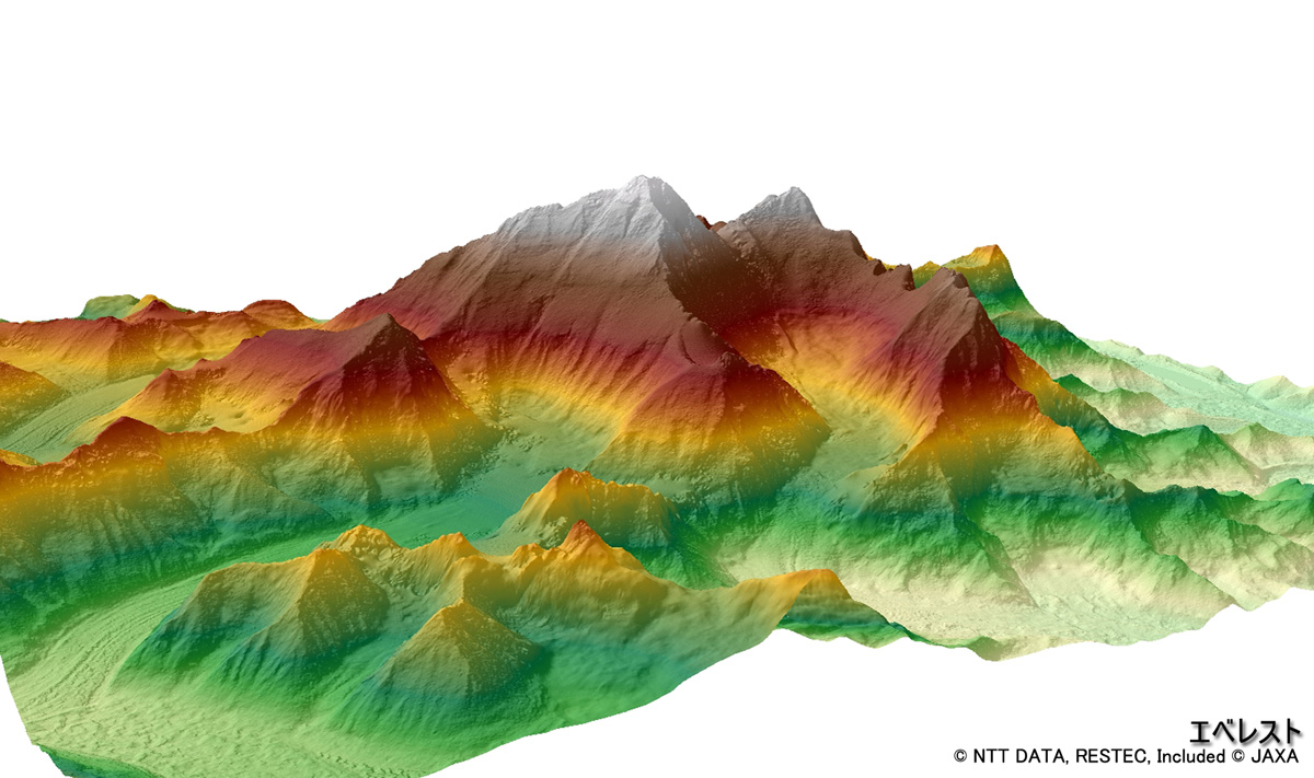
JAXA allows download the 30-meter spatial resolution digital surface model (DSM).
The VITO Vision provides PROBA-V, SPOT-Vegetation and METOP as free satellite imagery.

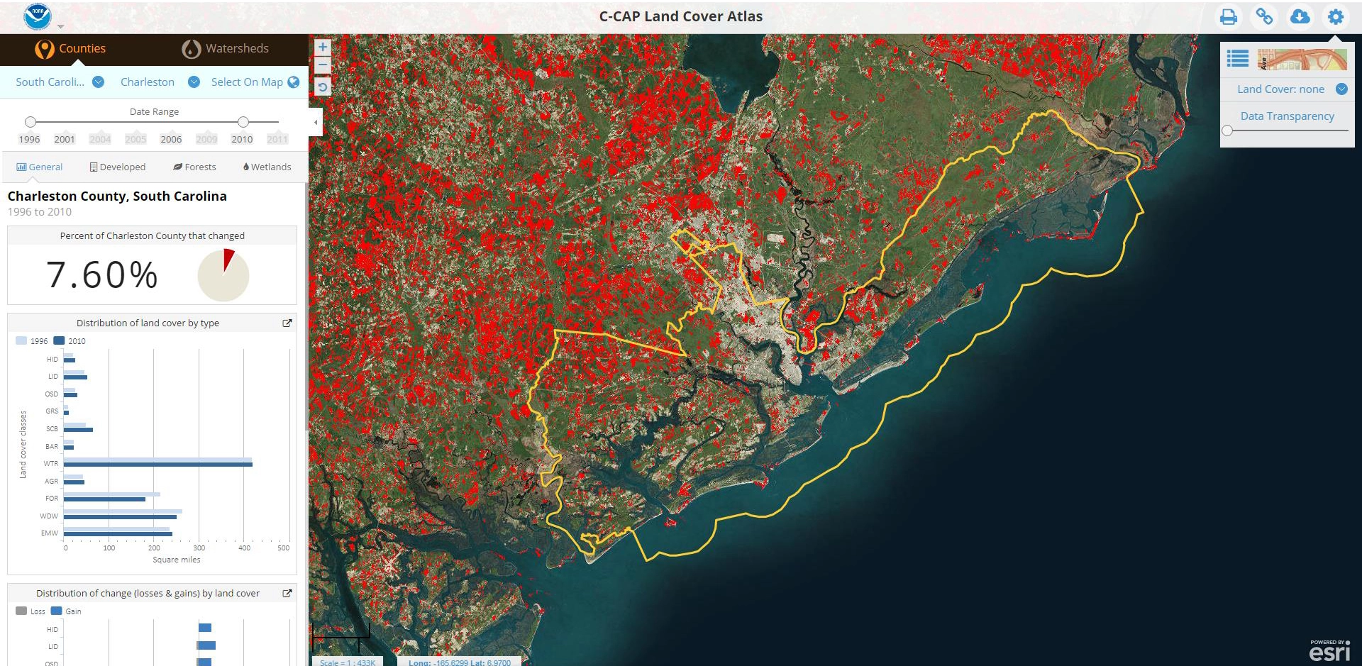
NOAA Digital Coast is the one of best to find seashore data and you can download them.
You can find here: flooding, plate tectonics, and earthquakes.


