

Building Information Modeling doesn’t just mean the 3D model creation of a structure. This implies information associated with the phases of design, construction and maintenance. BIM dimensions 2D, 3D, 4D, 5D, 6D, 7D and even 8D enhance the model data for a better understanding of the building project. Additional information visualizes the process of project delivery, cost and building facility maintenance.
BIM Dimensions/Level of Information in BIM Data:
Types of Dimensions & Purpose:
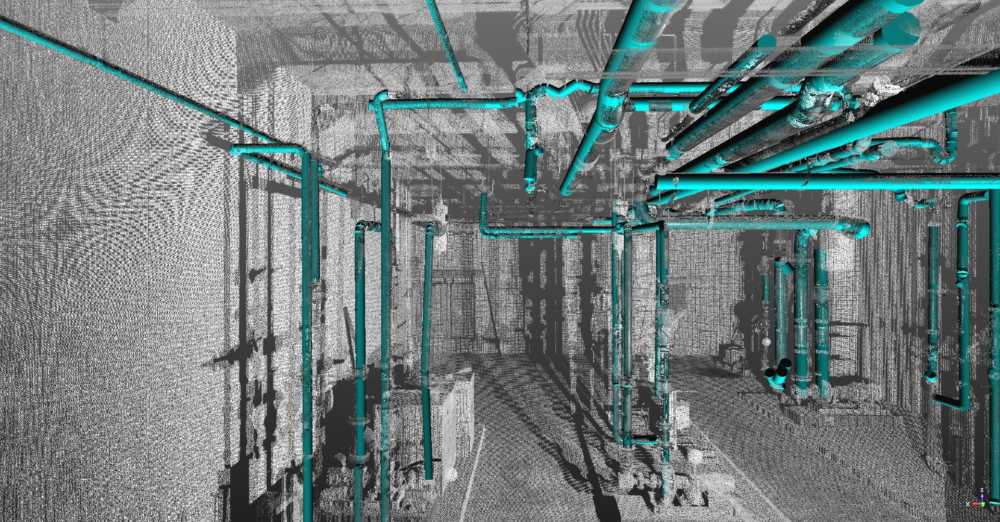
3D Modeling– Geometrical/Graphical Information – Visualize Building in 3 Dimensions by Updating Views throughout project life-cycle from conception to completion
4D Scheduling/Simulation/Sequencing/Construction Phasing – Time-Related Information to model construction sequence & plan project
5D Cost Estimation/Analysis/Cost Management/Quantity Take-off/Bill of Materials – Tracking Budget & Making Cost Analysis
6D Sustainability/Energy Analysis – Accurate energy estimation in the design-build stage for high-performance facilities
7D Facility Management & Maintenance – Facility Operations & Maintenance throughout the building lifecycle
8D Site Accident Prevention – Design Optimization, providing the best result at the pre-construction stage
Significance of BIM Dimensions:
• Help to start client conversations, demonstrate several BIM use cases and develop accurate project requirements
• Provide an improved understanding of building projects & the process of linking additional data dimensions to building models
• Facilitate engineers to get a better building insight and virtually assess project risks through intelligent model-based technique
• Reduce wastage for building contractors
• Decrease inaccuracy in information exchange for architects
• Collect information like reality capture data and store it in a user-friendly location
• Give real-time and centralized information to project stakeholders
• Enable collaboration amongst suppliers, building owners & other AEC professionals
You may also like What Is 3D Visualization?