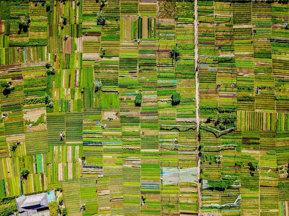


Remote sensing and Geographic Information System (GIS) technologies are commonly used for real-time analysis and forecasts of weather, floods, and monitoring crop area sown, lost, or damaged due to floods and rainfall.
Over the past few decades, Remote Sensing and GIS have grown exponentially in many sectors for visualization, monitoring, management, and potential development. Remote Sensing and GIS technology enable agencies to get reliable information of natural and man-made features or processed and interpreted appropriately phenomenon occurring over the earth’s surface without making any physical contact. Nowadays, farmers rely on these technological improvements.
1. Crop Sown Area Estimation
Crop sown area estimation is one of the major sections in agriculture Remote Sensing activities. Remote Sensing plays a crucial role in mapping and monitoring various crops sown area estimation. Satellite data such as Sentinel-1, 2, Landsat-8, World View-3, LISS-IV, and more provide precise level crop sown area and helps in crop loss assessment due to various catastrophic disasters.
2. Normalized Difference Vegetation Index (NDVI)
This is primarily used for the assessment of vegetation dynamics, particularly in determining the crop health status. With NDVI, the possibility of understanding the crop phenology escalates as it explains the crop chronology and their relationship with weather and climate (season). NDVI is measured using mathematical calculation of spectral bands within the satellite image which measures the healthiness of vegetation, as it has a robust correlation with green biomass indicating healthy vegetation or crop.
3. Crop Diseases Identification
Remote Sensing technology provides spatially distribution of information of diseases and pests over a large area with relatively low cost. With the help of satellite imagery and spatial analysis techniques, crop-infected areas are identified like Mealybug, Plant Hopper, and White Fly to get an overview for evaluating the potentially infected areas.
4. Soil Properties
Soil properties are crucial in farm management practices as it has a direct impact on the yield output. Change in farming system and land management results in soil change which compromises the current and future capacity for primary production and provision of crops and by micronutrition mapping as the soil is a very important aspect of agriculture with characteristics like soil pH, soil organic matter, soil texture among many others. These characteristics infer information about soil condition by observing what happens on the surface in terms of vegetation growth. On the other hand, water content available within the soil is a very important factor that is taken into consideration by soil moisture mapping.
5. Flood Impact
Every year in the Kharif season in India, the majority of the agricultural area is damaged due to flash floods or excessive rainfall. Satellite Remote Sensing provides significant information through the use of satellite imagery along with ground-based data collected from ground surveying teams, to compute precise damage assessment. In case of flood due to rainfall, the excess amount of water caused by the precipitation affects the agricultural area where the water drainage system is absent causing inundation. Flood due to overflow ultimately forms small tributaries and joins the river, creating a situation of flood in the vicinity of river banks and river plains. The damage assessment of floods can significantly improve the role of land use planning in managing flood risk.
6. NATCAT Modelling
Natural Catastrophe modeling is a system to estimate the real-time or possible forecast of risk assessment, using the probabilistic approach to predict the outcome and behavior of natural hazards. This includes risk mapping and measuring hazards through computer-simulated catastrophe models where scientific studies and historical occurrences are linked with advanced information technology and geographic information system (using Remote Sensing & GIS). Flood risk maps are prepared depending on the estimated depth of inundation of flood. The estimation is commonly derived from various hydrological and remotely sensed data where the process ensures that areas having a higher depth of inundation will be assigned a high ‘hazard denomination’.
7. Drone Image Analysis for Crop Damage Assessment
Drone image analysis is very useful in micro-level-crop assessment for crop loss due to hailstorm, horticulture tree counting, diseases, and many more. The accuracy of drone image data is directly related to the spatial resolution of the input imagery as the spatial resolution is very high ranging from 50cm and increase as per the requirement.