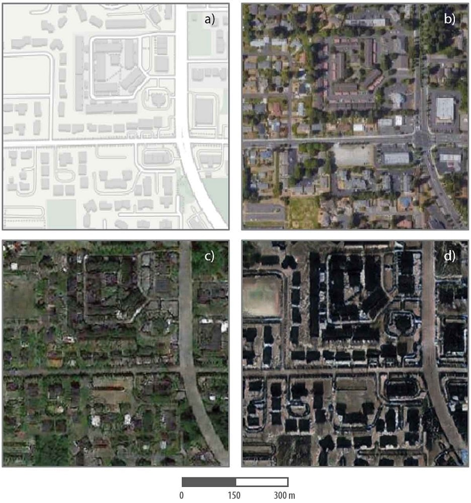


In areas related to satellite imagery, deepfake imagery is becoming a problem for individuals and organizations alike. There is a growing worry that satellite imagery will be used for nefarious purposes using deep learning techniques and fake imagery.
Deepfakes are media created synthetically to alter or change the appearance of an image, often replacing one scene for another. These alternations are generated by machine learning, and typically deep learning neural network techniques, that modify an image.
One common set of methods used for deepfakes include generative adversarial networks (GANs). One technique within this family of techniques is Cycle-Consistent Adversarial Networks (CycleGAN), which has been one approach seen to have been used for deepfake satellite imagery creation.
This algorithm applies a neural network that automatically trains image-to-image models that translate x and y location without paired training examples. It is an unsupervised technique that uses a collection of images that finds comparable images and can replace an image of a location with another location, while still maintaining a realistic appearance for the entire scene. For instance, common applications include transforming one animal or person with another similar looking animal or person (e.g., replacing a horse and zebra in an image)
Such algorithms are known to be used for deepfakes that can replace varied locations found sometimes in high resolution satellite imagery. While such algorithms are relatively new, for satellite imagery and map generation in general, deepfakes are part of the long-lasting trend of manipulating geographic data. In other words, incentives for creating deepfakes are not new, even if the techniques now used are relatively recently developed.