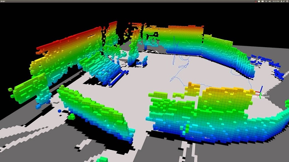


SLAM (simultaneous localization and mapping) is a process used in robotics and autonomous systems to construct a map of an unknown environment while simultaneously determining the robot’s location within that environment. In this blog post, we’ll answer some frequently asked questions about SLAM.
SLAM stands, for simultaneous localization and mapping. It’s a process used by robots and autonomous systems to navigate through an unknown environment while also building a map of that environment. The robot uses sensors, such as cameras, lidar, or sonar, to collect data about the environment and its own movement within it. This data is then used to create a map of th environment and to determine the robot’s location within that map.
The benefits of SLAM are numerous. By using SLAM, robots can navigate through unknown environments with greater accuracy and efficiency. This is particularly useful in situations where human access to an environment is limited or dangerous, such as in search and rescue missions or hazardous waste disposal. Additionally, SLAM can be used to improve the efficiency of tasks such as warehouse automation or cleaning robots, where the robot needs to navgate through an environment while performing its tasks.
SLAM works by combining data from multiple sensors to create a map of an environment and to determine the robot’s location within that map. The sensors used can vary depending on the type of robot and the environment it’s navigating through. For example, a robot navigating through an indoor environment might use cameras and lidar, while a robot navigating through an outdoor environment might use GPS and sonar.
The data collected by the sensors is processed and combined using algorithms that create a map of the environment and determine the robot’s location withi n that map .This process is complex and requires a high degree of computational power, but recent advances in machine learning and artificial intelligence have made it easier and more efficient .
You can also read “What is Mobile Mapping?”
SLAM has numerous applications in a variety of industries. Some examples include:
SLAM is a complex process that presents several challenges. One challenge is the need for high-quality sensor data. If the sensors used to collect data are of low quality or not properly calibrated, the resulting map and localization data will be inaccurate. Additionally, SLAM requires a significant amount of computational power, which can be a challenge for smaller or less powerful robots.
Another challenge with SLAM is the need to handle ambiguous data. For example, if a robot encounters an object that it hasn’t seen before, it may be difficult to determine what that object is and how it should be mapped within the environment .
SLAM is a powerful technology that has numerous applications in robotics, autonomous systems, and beyond. By using SLAM, robots can navigate through unknown environments with greater accuracy and efficiency, which is useful in variety of industries. However, SLAM also presents several challenges, including the need for high-quality sensor data and the need to handle