Photogrammetry
Your source for all things Photogrammetry, including breaking news, updates, guides, tactics, tips, trends, equipments, softwares and more!

Perfect Data Collection in Aerial Photogrammetry…
By
In today’s digital age, the demand for high-quality aerial data is ever-increasing. Customers expect data that is accurate, reliable, and…
4 min read
344 reads

Vexcel Open Day India, October 7 to 9, 2024
By
India is currently undergoing one of its greatest transformations, driven largely by the latest rapidly evolving technologies, particularly in its…
< 1 min read
94 reads

New Meridian Mobile Mapping System by Mosaic
By
Mosaic, the trailblazing force in terrestrial imaging and photogrammetry, announces a seismic shift in the geospatial and surveying industries with…
2 min read
127 reads

How to Choose an Airborne Camera for Aerial Survey…
By
Selecting the right aerial camera for your business is a challenge today. The market is awash with promises and conflicting…
8 min read
855 reads
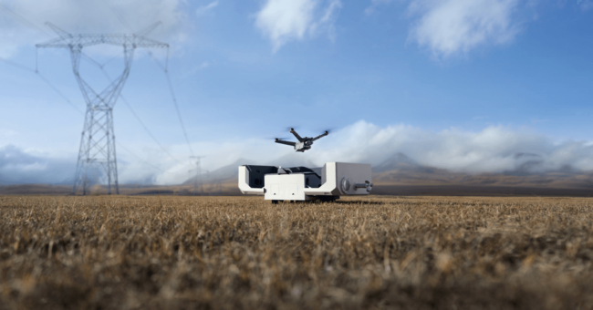
DJI Dock 2 The Next Generation “Drone in a B…
By
DJI, renowned as a pioneer in civil drones and camera technology, is once again proving its reputation with the introduction…
< 1 min read
547 reads

What is a 3d Monitor? Everything You Need to Know…
By
Today I’m going to show you exactly what is a 3d monitor and everything you need to know before buying…
6 min read
863 reads
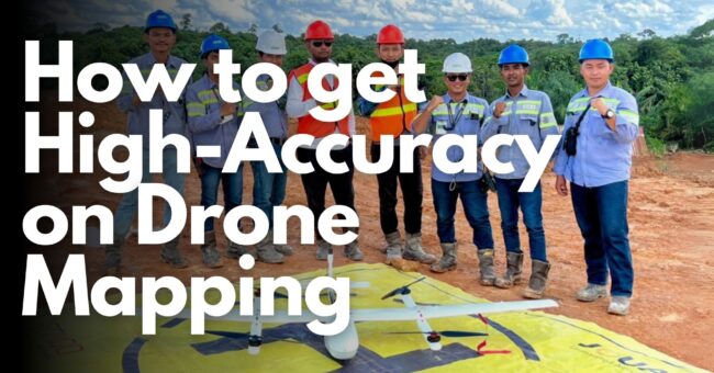
How to Get High-Accuracy on Drone Mapping
By
For all of us as a surveyor, accuracy is very important in drone mapping, photogrammetry, and aerial surveying. While GPS…
6 min read
676 reads

New Hybrid Mobile Mapping Solution, Stonex X70 GO!
By
X70GO is a real-time 3D model reconstruction device which integrates inertial navigation module, high performance computer and storage system. It…
< 1 min read
983 reads

Top 10 Camera Features for Aerial Mapping: A Guide…
By
Unlocking the breathtaking potential of aerial photography and mapping requires the perfect tool – the right camera. But with countless…
< 1 min read
973 reads

What Is the Difference Between Nadir and Oblique I…
By
Aerial imaging is a powerful tool that can be used to capture detailed views of the Earth from above. There…
2 min read
666 reads


