Aerial Mapping
Get the latest Aerial mapping news, plus learn how to integrate it into your business.
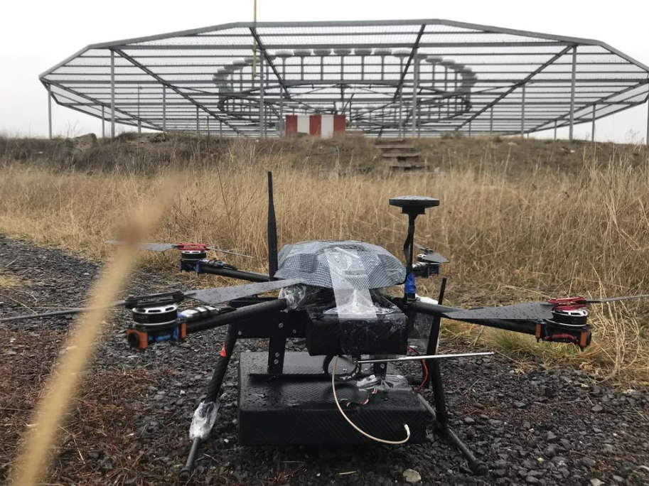
Cursir NAVAID Drones For Flight Inspections Of Nav…
By
NAVAID Calibration Drone by Cursir helped to speed up the flight check of the landing system of the Ulyanovsk airport.…
2 min read
787 reads
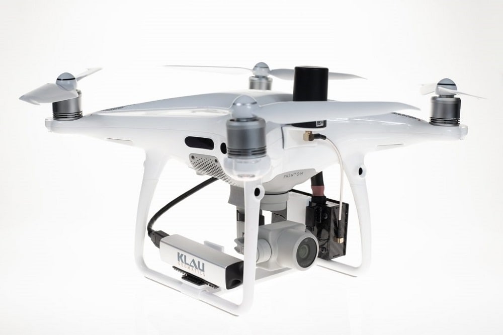
Drones with Thermal Cameras and Cases of Use
By
Unmanned drones on the market today are no longer only an entertaining gadget for hobbyists, nor are they only equipped…
7 min read
644 reads
What is Night Vision for Drones?
By
Night vision for drones can refer to three different technologies. Each of these allow a drone’s camera to record pictures…
3 min read
2K reads
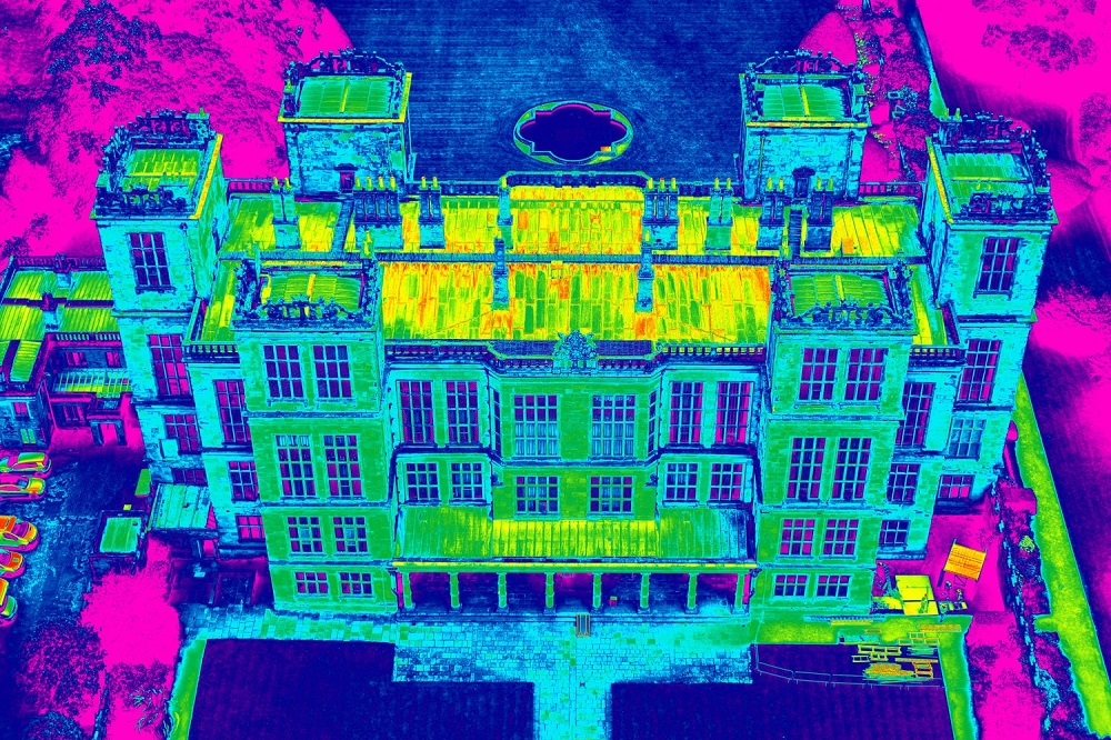
The Evolution of Accurate Drone Mapping
By
Over the past decade, the process of creating accurate 3D maps and models from drone photos, “Drone Mapping” has come…
5 min read
1K reads


