Surveying News
Breaking news, updates, trends, and the latest info you need to know about Surveying, Theodolites (Totalstations), Gnss Receivers, Laser Scanners, and Hydrographic survey tools.

How AI is Revolutionizing Reality Capture and Surv…
By
In the latest episode of the SGN Show, we spoke with Dominique Meyer, the founder of Looq AI, about how…
< 1 min read
121 reads
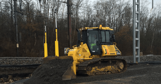
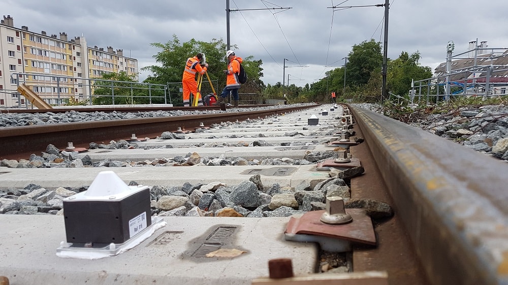
Elevating Belgium’s Railways with Topcon Pos…
By
Belgium’s government-owned rail network company, Infrabel, plays a crucial role in maintaining the country’s railways. Recently, Infrabel faced the task…
2 min read
763 reads

New Survey Software Application “SurveyTools…
By
Announced at HxGN Live in Las Vegas, SurveyTools™ for BricsCAD® is an all-in-one solution for surveying workflows by MicroSurvey®. The…
2 min read
1K reads
How a Surveyor Saved 3 Hours a Day [8 Proven Tips]…
By
Here’s the brutal truth about the efficiency of surveying in the field. There are WAY too many people in the…
6 min read
1K reads

Hilti introduces new digital layout tool, the PLT…
By
Due to ongoing labor shortages and jobsite limitations, the use of single operator tools like the PLT 400 is cruciall.…
< 1 min read
600 reads
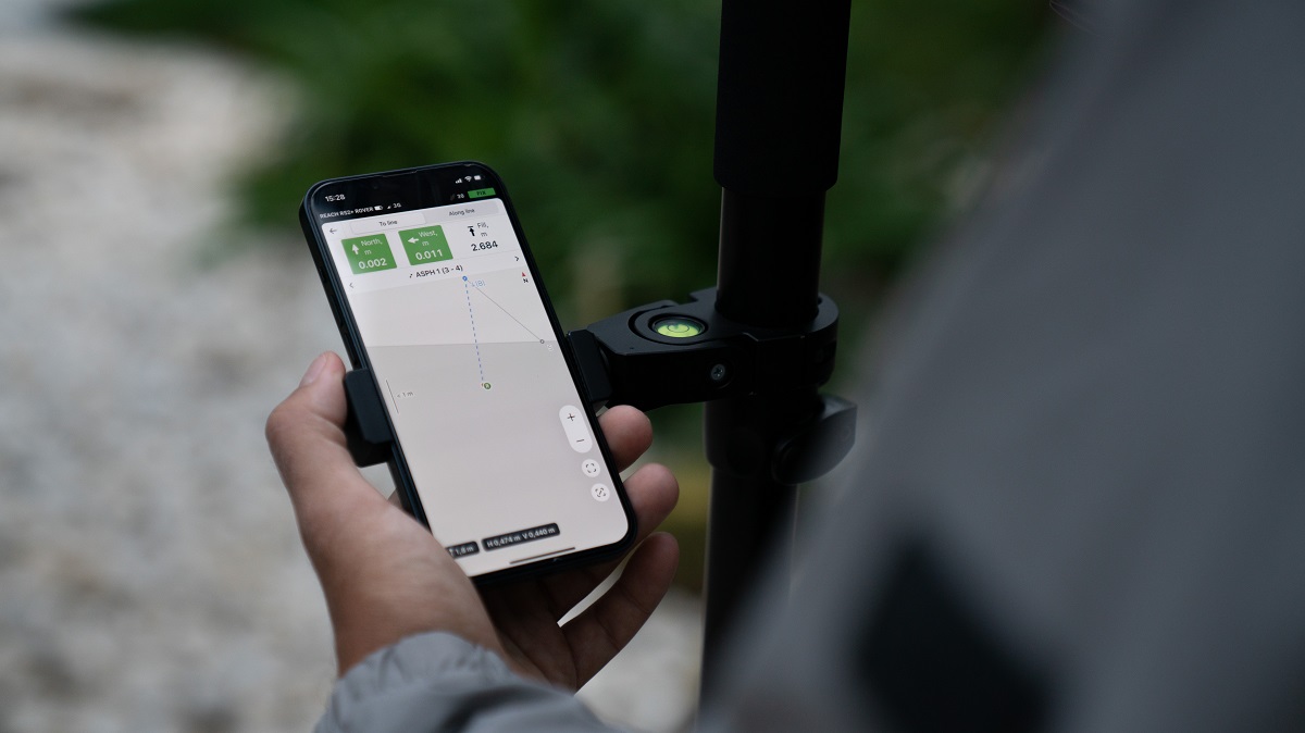
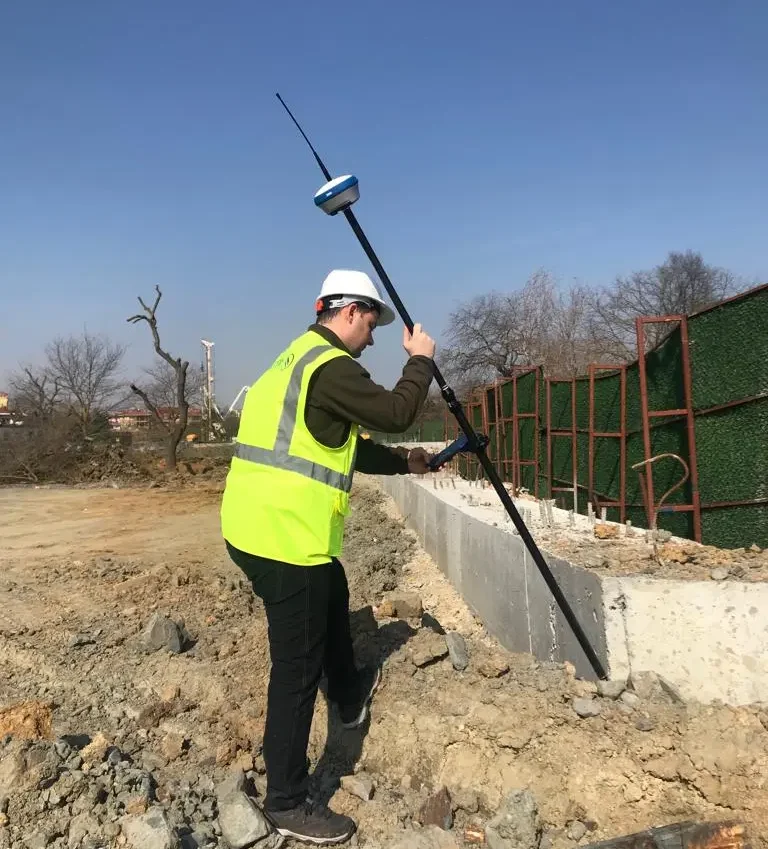
Emlid Upgraded the Survey App “Emlid Flow…
By
Emlid introduced new functionality and a new name for its survey app. Emlid Flow is the highly upgraded ReachView 3…
3 min read
640 reads
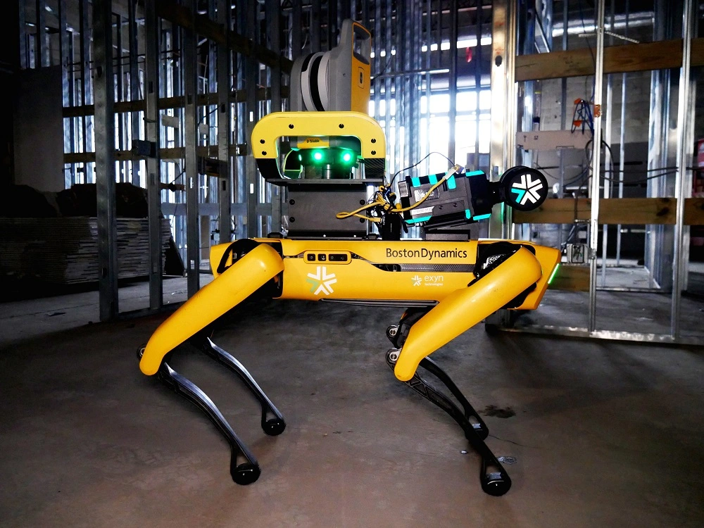
Autonomous Surveying Solution For Construction
By
Trimble (NASDAQ: TRMB) and Exyn Technologies, a pioneer in multi-platform robotic autonomy for complex, GPS-denied environments, announced today a strategic…
2 min read
289 reads
Senceive and SNCF are collaborating on modernising…
By
French rail infrastructure operator SNCF Réseau and British monitoring technology company Senceive have announced an exclusive two-year research and development…
< 1 min read
355 reads

PointCab Share: New, Free Point Cloud Viewer
By
Just in time for Christmas, PointCab, known for their fast and easy point cloud processing software, released a new, free…
< 1 min read
491 reads

Trimble R12i with SiteVision
By
Augmented Reality for Surveyors Have confidence in your survey data by visualizing it in the real world with the Trimble…
3 min read
638 reads


