Bathymetry
Bathymetry covers all of the bathymetric survey techniques, latest echo sounders, case studies, and examples. Learn more about Bathymetry.
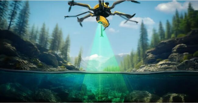
YellowScan Announced the New Bathymetric LiDAR Sol…
By
YellowScan, a prominent player and innovator in the field of LiDAR solutions for unmanned applications, has unveiled its latest bathymetric…
< 1 min read
662 reads
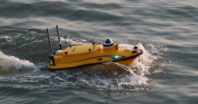
Discover the CHC Navigation Apache 3 Pro: Compact…
By
Shanghai, China – November 24, 2023 – CHC Navigation (CHCNAV) introduced the Apache 3 Pro, a revolutionary compact hydrographic drone…
2 min read
1K reads
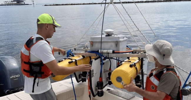
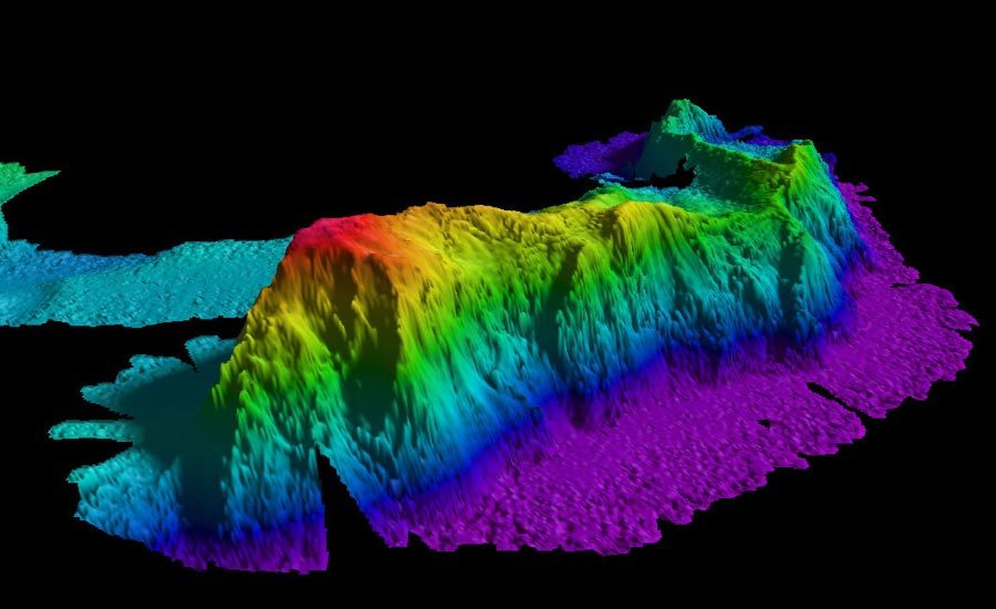
SQUID-5: Unprecedented Accuracy in Mapping Complex…
By
In a groundbreaking development, researchers at the USGS Pacific and St. Petersburg Coastal and Marine Science Centers have introduced cutting…
2 min read
1K reads
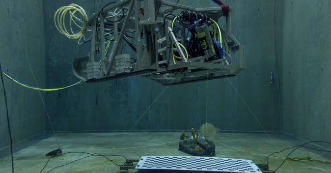
Mapping the Ocean Floor: Next-Gen Underwater Lidar…
By
Discover the latest breakthrough in underwater lidar technology that is revolutionizing seafloor mapping. With a focus on high-resolution and detail,…
2 min read
1K reads
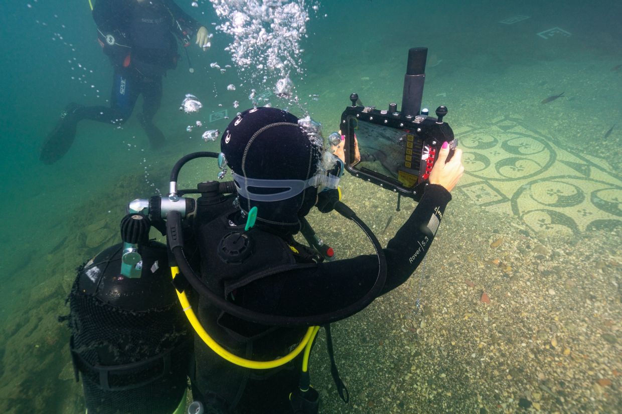
Underwater Augmented Reality for Maritime Heritage
By
The Mediterranean Sea has a vast maritime heritage which exploitation is made difficult because of the many limitations imposed by…
3 min read
490 reads

Fugro Delivers Seabed Geodata, Employs Wind Lidar…
By
Fugro has completed a geotechnical site characterization project for DRA Global as part of the proposed expansion of the port of Richards Bay…
2 min read
368 reads
Solving Complex Problems With Bathymetric Survey D…
By
Bathymetric survey drones can be an easy solution in times when traditional bathymetric survey techniques are unworkable on bodies of…
2 min read
583 reads
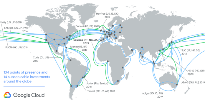
How Google is Using Submarine Cables To Detect Ear…
By
Google owns the largest submarine cable network in the world. Undersea cables make it possible for us to use the…
2 min read
513 reads
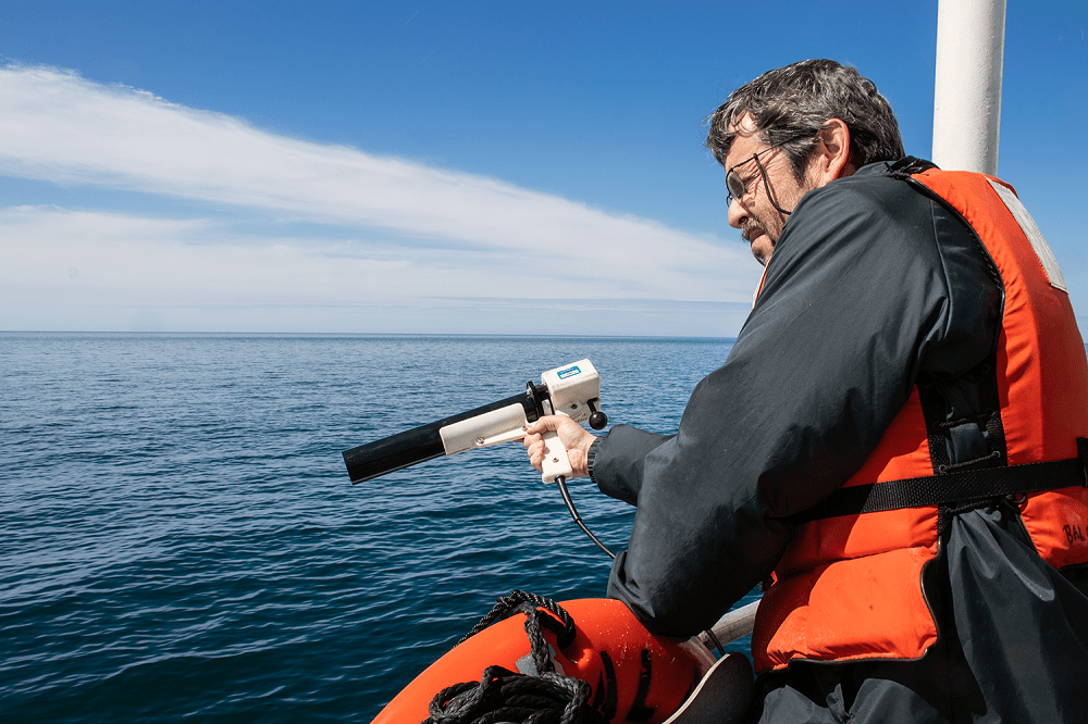
Using LiDAR to See Deep Ocean
By
Researchers have advanced a new way to see into the ocean’s depths, establishing an approach to detect algae and measure…
2 min read
570 reads
Excavator Positioning System: Kordil EPS
By
With its positioning systems for heavy machinery and equipment, Kordil continues to produce innovative solutions as one of the Turkish…
2 min read
969 reads


