Aerial Mapping
Get the latest Aerial mapping news, plus learn how to integrate it into your business.
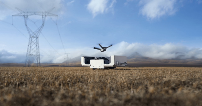
DJI Dock 2 The Next Generation “Drone in a B…
By
DJI, renowned as a pioneer in civil drones and camera technology, is once again proving its reputation with the introduction…
< 1 min read
136 reads

How to Get High-Accuracy on Drone Mapping
By
For all of us as a surveyor, accuracy is very important in drone mapping, photogrammetry, and aerial surveying. While GPS…
6 min read
278 reads
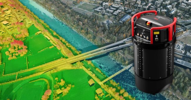
New Leica TerrainMapper-3 Airborne LiDAR Sensor
By
Leica Geosystems, part of Hexagon, introduces the Leica TerrainMapper-3 airborne LiDAR sensor, featuring new scan pattern configurability to support the…
2 min read
574 reads

Top 10 Camera Features for Aerial Mapping: A Guide…
By
Unlocking the breathtaking potential of aerial photography and mapping requires the perfect tool – the right camera. But with countless…
< 1 min read
615 reads
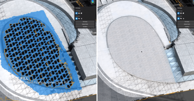
DJI Modify, The New Intelligent 3D Model Editing S…
By
DJI has just announced their first intelligent 3d model editing software. DJI Modify has amazing features that you will love.…
3 min read
889 reads
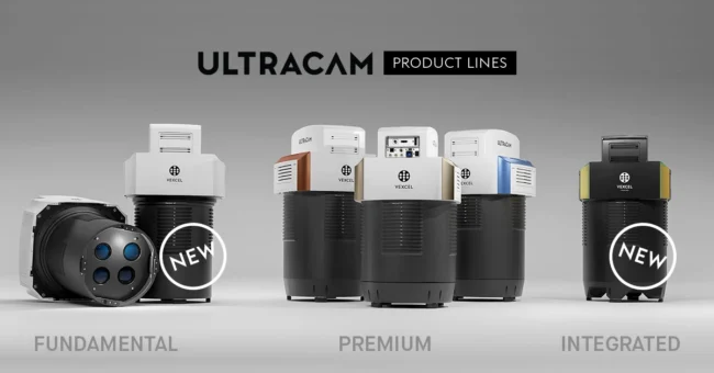
Vexcel Imaging Unveils Game-Changing Aerial Mappin…
By
Vexcel Imaging is raising the bar in airborne photogrammetry by introducing two groundbreaking aerial mapping systems: UltraCam Dragon 4.1 and…
2 min read
1K reads

Drones Equipped with LiDAR Technology Uncover Unkn…
By
Introduction In a groundbreaking discovery, archeologists have utilized a drone equipped with high-resolution LiDAR technology to uncover thousands of previously…
2 min read
1K reads
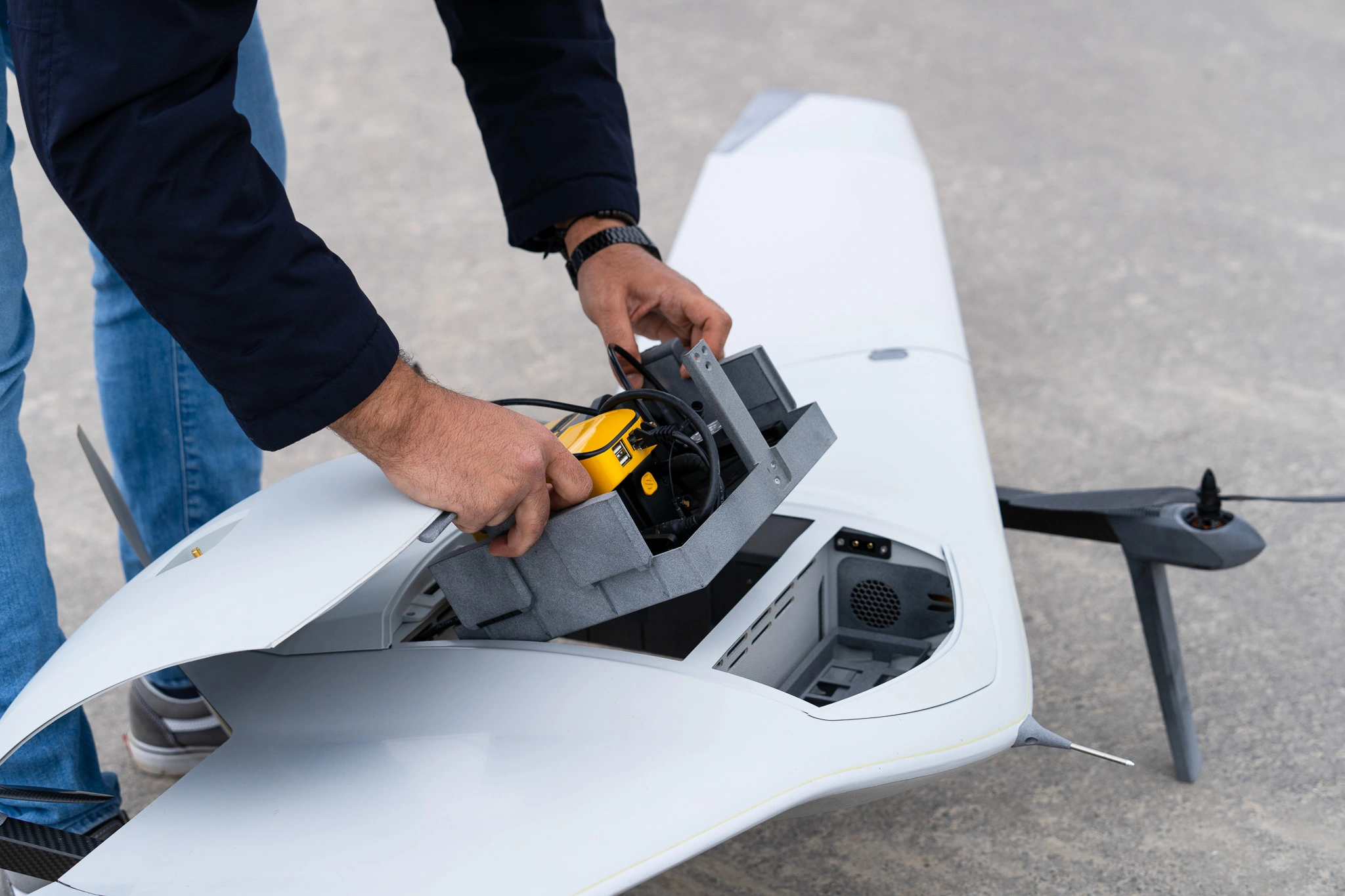
Power of Colorized LiDAR Mapping! 500 Ha in a Sing…
By
Partnering with LiDAR mapping solutions manufacturer, YellowScan, Dutch drone manufacturer DeltaQuad integrated a colorized LiDAR solution in their most recent…
2 min read
1K reads

Leica CountryMapper, the World’s First Hybrid Imag…
By
Bringing unprecedented efficiency and data quality to large-area aerial data collection (Heerbrugg, Switzerland, June 13th, 2023) Leica Geosystems, part of Hexagon,…
2 min read
583 reads

SkyGrid: Autonomous Remote UAV Operations Solution
By
SkyGrid, a Boeing, SparkCognition company, announced today that it has released a new autonomous remote UAV operations capability to allow…
2 min read
636 reads


