Surveying
Your source for all things Surveying, including breaking news, updates, guides, tactics, tips, trends, equipments, and more!.

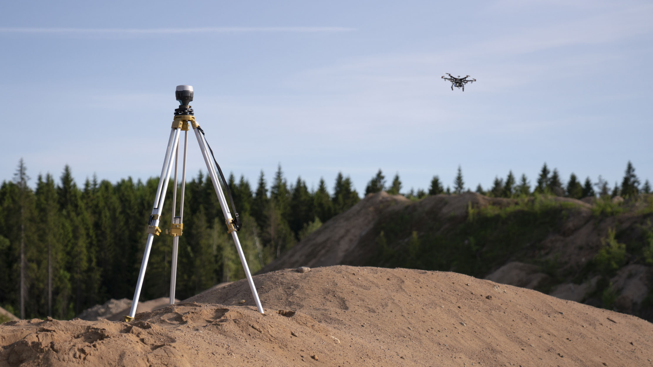
Traditional Surveying vs Digital Surveying
By
The more user-friendly a program, software, or tool is, the more time people will spend using it. Certainly when it…
4 min read
787 reads

Trimble R12i with SiteVision
By
Augmented Reality for Surveyors Have confidence in your survey data by visualizing it in the real world with the Trimble…
3 min read
707 reads

Have You Ever Tried Working In The Cloud? Even Pos…
By
“You do not have to come back to the office to import data from your GNSS receiver manually anymore” Times…
4 min read
383 reads

The Inertial Labs Miniature Attitude and Heading R…
By
All new MiniAHRS delivers a cost-effective and high-performance strapdown system The new Inertial Labs MiniAHRS utilizes 3-axes each of precision…
2 min read
378 reads

Everyone Can Survey
By
Digitalization is the use of digital technologies to change a business model and provide new revenue and value-producing opportunities; it…
2 min read
417 reads

GNSS RTK rover with Visual Positioning: GS18 I
By
New GS18 I GNSS RTK rover with Visual Positioning can measure what you see Leica Geosystems, part of Hexagon, unveils…
2 min read
448 reads
Emlid Launches a New Multi-band RTK Module Reach M…
By
Reach M modules are what you need for UAV mapping. For different techniques and different requirements, you always have a…
2 min read
1K reads
4. GPS Signal for Civilian Usage
By
A new GPS civilian signal is now available for use. The new signal is stronger, more accurate, more resilient to…
2 min read
1K reads

Trimble to Acquire Kuebix to Transform and Connect…
By
Trimble (NASDAQ: TRMB) announced today it has signed a definitive agreement to acquire privately-held Kuebix, a leading transportation management system (TMS)…
2 min read
507 reads
How GNSS Works?
By
Global Navigation Satellite System, popularly known as GNSS, is a satellite navigation or satnav system that uses small satellites to pinpoint the geographic location of a user’s receiver on Earth.…
2 min read
1K reads


