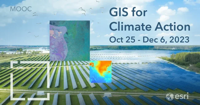
In the face of escalating climate challenges, the “Esri GIS Course for Climate Action” emerges as a beacon of hope and expertise. Hosted at the universally accessible Esri Academy, this Massive Open Online Course (MOOC) is designed to equip participants with actionable GIS knowledge for combating climate change. With the Esri GIS Course for Climate Action, you get six weeks of free education that comes complete with scientific tools and authoritative data.
Guided by Esri’s Chief Scientist Dawn Wright, an eminent expert in geography and oceanography.
Learn to share valuable data and insights using cutting-edge platforms like ArcGIS Dashboards, ArcGIS Instant Apps, and ArcGIS StoryMaps.
Anyone concerned about our planet’s climate can enroll— all you need is a free ArcGIS account.
Registration is open until November 8. To view course details and register, click here.
The Esri GIS Course for Climate Action is not just a course; it’s a call to action. The time to act is now.
“Taking positive climate action can start with the simple act of talking about its impact on the people and places you love.”