
While the “LiDAR vs RADAR” question may seem confusing at first, the difference between the two isn’t incredibly complicated. We’d like to make it clearer so you can understand the technology, making it easier to know which can be used more effectively than the other in different settings and situations.
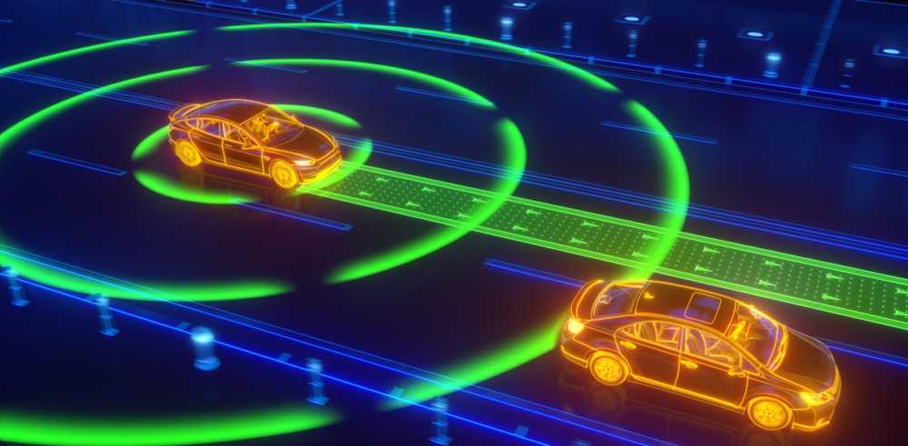
Essentially, RADAR and LiDAR work towards the same goal, which is to detect objects. But these technologies do operate and provide results in notably different ways when compared to each other. At the basic level, RADAR and LiDAR differ because they don’t use the same wavelength type.
LiDAR stands for Light Detection and Ranging. This technology uses light to detect objects to create a digital point cloud. A LiDAR sensor setup is usually equipped with an airplane, drone, or helicopter. The LiDAR sensor transmits repeatedly pulsed laser beams, or shots, in various directions in a given environment. Data points are logged once these lasers meet a surface and return to the sensor. These points combine with GPS data as well as (IMU) or inertial measurement to generate a point cloud. After that, several products can be produced by professionals including 3D models that can be rendered to reflect the scanned environment. The takeaway, LiDAR uses light for remote sensing.
RADAR is short for radio detection and ranging. It operates similarly to LiDAR, except the major difference is that it uses different signals to detect objects; RADAR utilizes radio waves. Using either a fixed antenna or a rotating antenna, RADAR emits radio waves and measures the duration of time which the reflected radio signal traveled.
The different wavelengths will return different kinds of results. Since RADAR wavelengths are larger, their returned results aren’t nearly as detailed as LiDAR sensors. LiDAR data is of much higher accuracy and resolution when compared with RADAR data, making it possible to build exact 3D models of objects.
Let’s put this in simpler terms in the context of applications to further clear up the LiDAR vs RADAR question. If you’re wanting to detect larger objects, especially ones that are moving, RADAR is a possible choice. For generating more finely detailed 3D models of static environments with clearer analysis of topography and object contour, LiDAR is the way to go.
Source: flyguys.com


