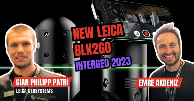
oin us in this exciting video as we delve into the latest advancements from Leica Geosystems, showcased at INTERGEO.
Leica Geosystems is renowned for pushing the boundaries in geospatial technology, and their newest products are a testament to this legacy. In this video, we explore:
Leica BLK2GO PULSE: This innovative scanner offers instant, colorized point clouds in the field, enhancing on-site surveying efficiency.
Leica Pegasus TRK: Revolutionizing mobile mapping, this lightweight system can be mounted on almost any vehicle, broadening the scope for digital twin creation.
Leica CountryMapper: A hybrid airborne sensor that seamlessly combines photogrammetry with high-performance LiDAR, providing comprehensive 2D and 3D geospatial data.
HxGN GeoCloud: Powered by HxDR, this cloud-based platform streamlines data management, enabling efficient handling of large data sets in geospatial projects.
In this video, we’ll take a closer look at each of these innovations, discussing how they can revolutionize various aspects of geospatial work, from surveying to mapping and beyond. Whether you are a professional in the field or just someone with a keen interest in geospatial technology, these new developments from Leica Geosystems are sure to pique your interest.
Don’t forget to like, share, and subscribe for more insights into the latest in geospatial technology.