Remote sensing is the science of obtaining the physical properties of an area without being there. It measures emitted and reflected radiation captured typically from sensors on airplanes, satellites and drones. Active and passive are the two types of remote sensing.
So how is remote sensing solving some of our most challenging problems on Earth? And how does remote sensing go above and beyond human vision to capture Earth’s features?
From weather forecasting to military intelligence, this is just the tip of the iceberg.
Actually, the secret is that remote sensing isn’t very complicated at all. In fact, your eyes use remote sensing by reading this page right now…
As mentioned before, remote sensing means you are acquiring information from a distance. When you’re outside, the sun emits light. And each object reflects a mix of red, green and blue colors into your eyes. It’s the same for sensors on board satellites work.
But what’s important to know is that there is a whole range of possible wavelengths in the electromagnetic spectrum from short wavelengths (like X-rays) to long wavelengths (like radio waves).
And this is why remote sensing is such a powerful discipline. Because we can see beyond human vision, this fact alone lets us see things we’ve never seen before. In other words, we can see the invisible.
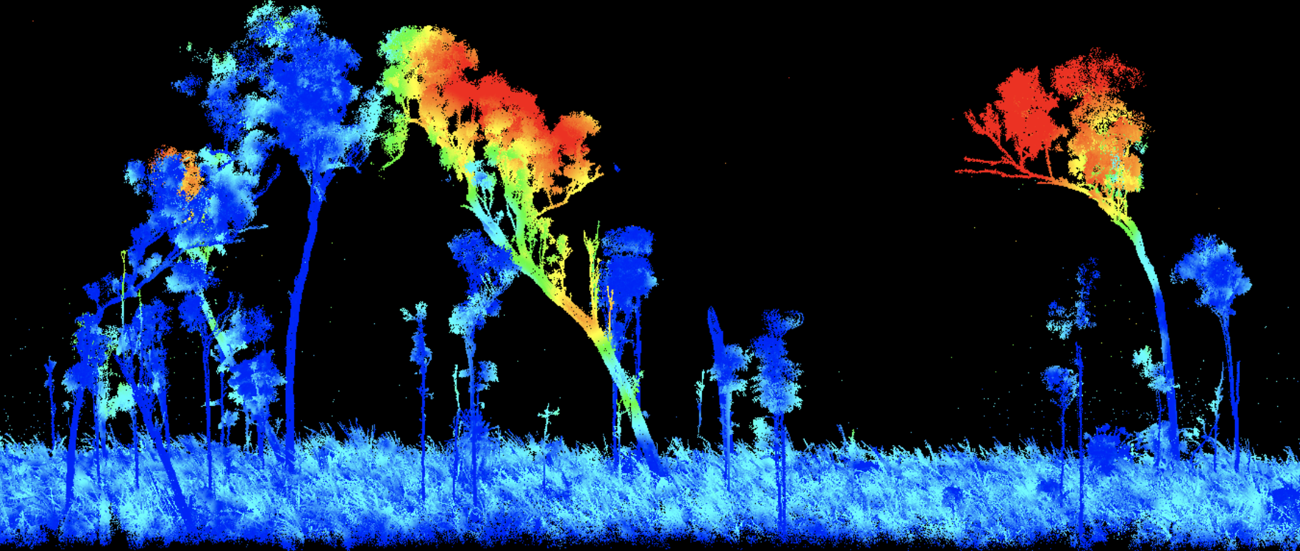
Want to read more about Lidar that one of popular remote sensing methods? Please review the “What is LiDAR? How does it work?”
Source: https://gisgeography.com/