

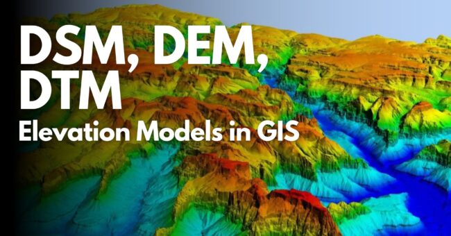
This article discusses the basic digital elevation models DSM, DEM, and DTM required to depict various aspects of the Earth’s surface within Geographic Information Systems (GIS).
Let’s examine together these three basic elevation models, whose applications span a wide range of areas such as urban planning and geological analysis.
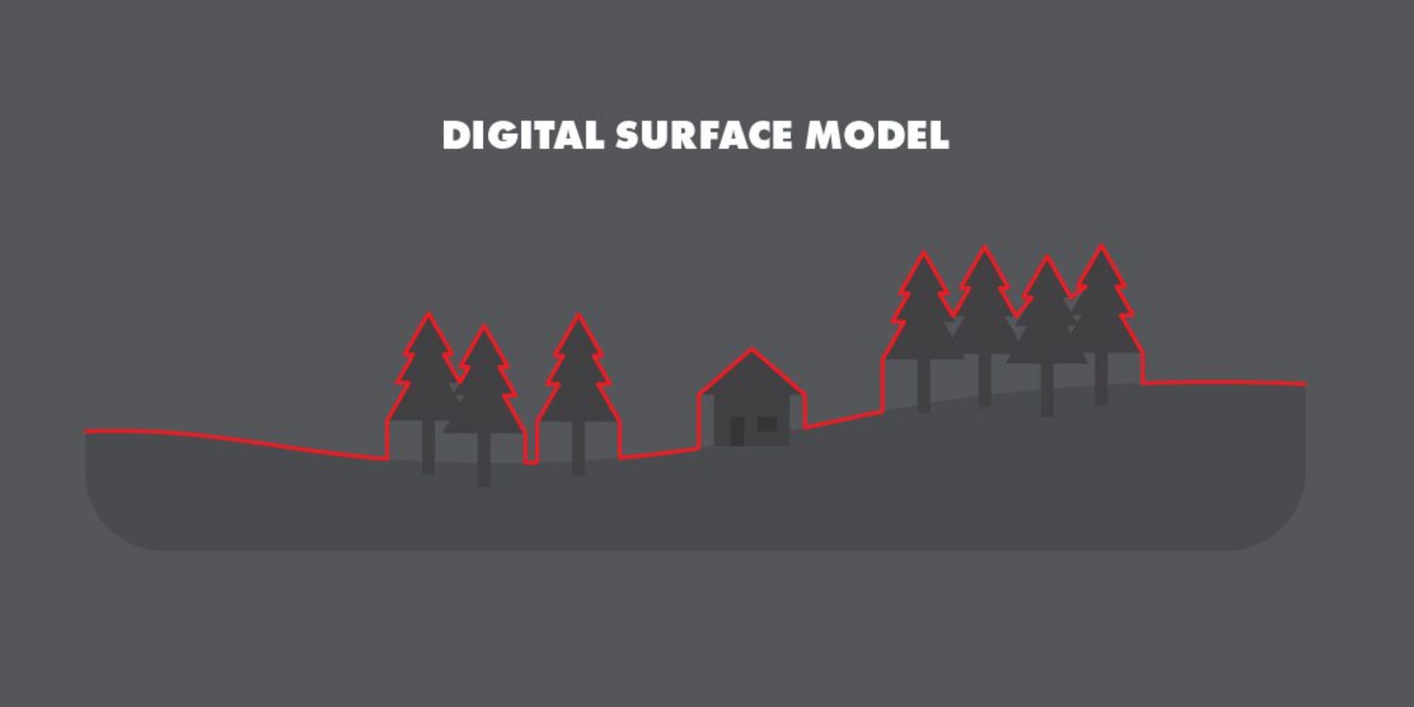
DSM, also known as Digital Surface Model, provides a detailed representation of the Earth’s surface, including all objects such as trees, buildings, and natural elements. It plays a critical role in many areas like urban planning, environmental monitoring, and infrastructure development. For example, city planners can better plan future construction projects by visually analyzing existing buildings and green areas. Similarly, DSM usage is prevalent in natural resource conservation and disaster risk assessment fields.
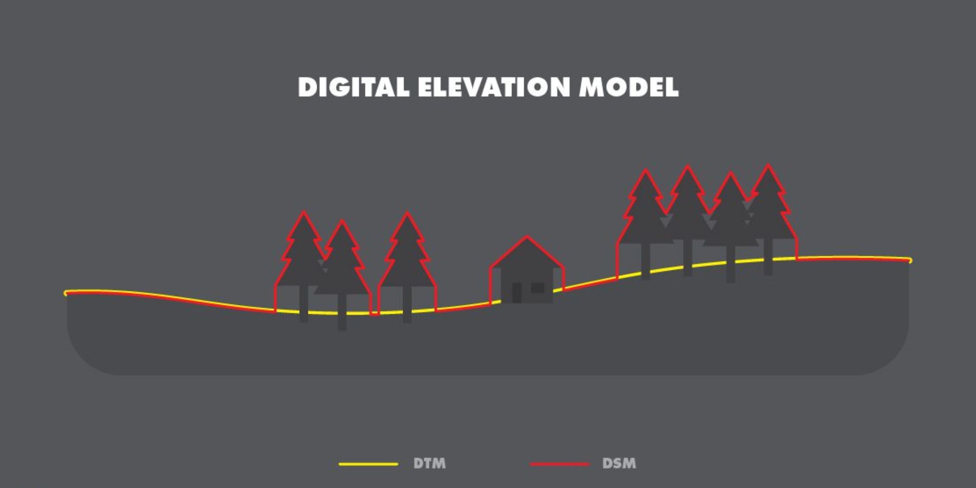
DEM, or Digital Elevation Model, represents only terrain elevations without artificial or natural objects. It is frequently used in areas like hydrological modeling and geological analysis. For instance, hydrologists can assess flood risks by analyzing flow direction and accumulation using DEM. On the other hand, geologists can identify fault lines and other geological formations by studying terrain features.
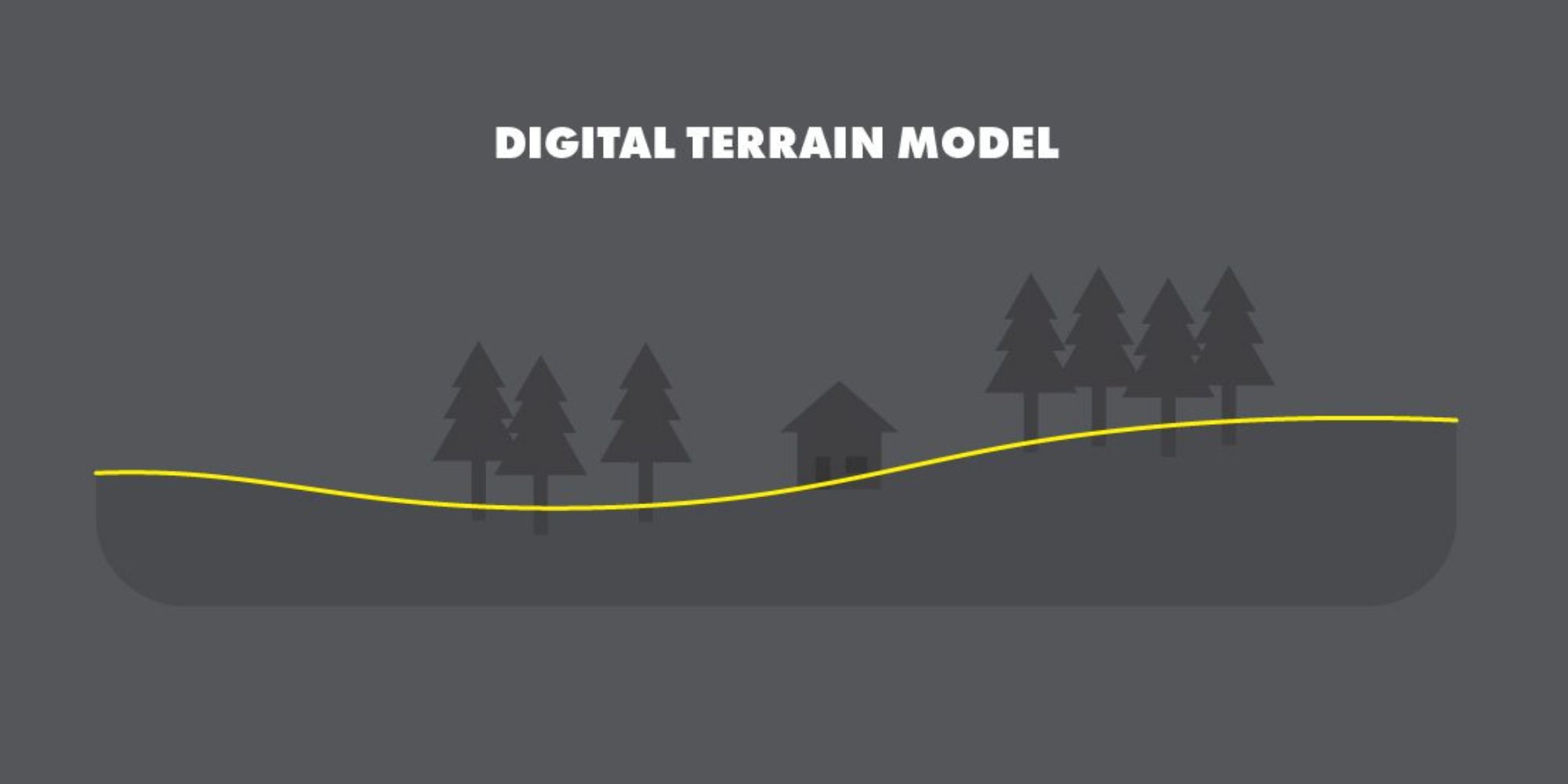
DTM, referred to as Digital Terrain Model, represents the bare terrain surface without structures or vegetation. It has a wide range of applications from slope analysis to flood risk assessment. Infrastructure engineers utilize DTM to analyze terrain slopes for designing safe and accurate structures like roads and bridges. Similarly, DTM is crucial in planning irrigation systems for agricultural areas.
In summary, DSM, DEM, and DTM represent different digital elevation models, each offering unique advantages and playing essential roles in Geographic Information Systems. Their versatility is evident as they find applications across various industries.
Moreover, alongside this article, we have curated a list of 20 free data sources for DTM, DEM, and DSM, which can be highly beneficial for your needs. Explore our compilation of the 20 Best Free Lidar, DTM, DEM, and DSM Data Sources 2024 to access valuable resources.

