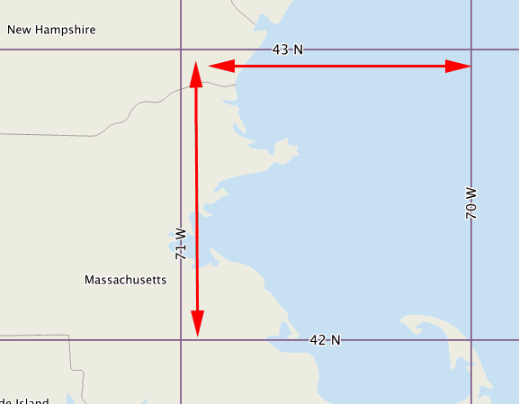
A geocell (or geo-cell), in terms of GIS and mapping, is a cell in a grid that has a resolution of 1 degree of latitude by 1 degree of longitude. There are a total of 64,800 geocells covering a globe of the Earth. Most are quadrilaterals, but the 360 surrounding each pole are trilateral. Their length is constant; their width varies. A geocell is nearly square at the equator; narrows to a spike at the poles.
Recommended Article: What is Metadata?
Despite their variable width, all geocells are of the same length, mesh, and alignment.
The conclusion is: the word “geocell” did not exist in either geometry or cartography, and its lack was symptomatic of the inattention to that degree of resolution in world maps (as well as globes).
The term geocell was coined by Gene Keyes.
Source: Gislounge