GIS & Mapping
Your source for all things GIS and Mapping, including breaking news, updates, guides, tactics, tips, trends, equipments, softwares and more!
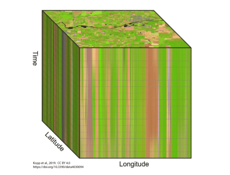
What is Datacubes in GIS?
By
Datacubes (or data cubes) are a form of data structure, where data are stored in multidimensional arrays (n-D arrays); the…
3 min read
377 reads
Drones with Thermal Cameras and Cases of Use
By
Unmanned drones on the market today are no longer only an entertaining gadget for hobbyists, nor are they only equipped…
7 min read
636 reads

Webinar: The Rehabilitation Of A Railroad Tunnel U…
By
The Essential Support Of 3d Technology In Infrastructure Projects The survey of railroad tunnels is deemed to be critical for…
2 min read
1K reads

Esri Arcgis Pro Certified For 3D Stereo Visualizat…
By
Today, ArcGIS Pro from Esri is one of the most modern and advanced desktop GIS products and is used worldwide…
4 min read
1K reads

Google Connects People For Food Support
By
The COVID-19 pandemic and the economic crisis that followed exacerbated hunger for millions of people. Feeding America estimates that the number…
2 min read
330 reads

What Is A Spatial Database and Why Do We Need It?
By
What is a spatial database? A spatial database is a database that is enhanced to store and access spatial data…
2 min read
1K reads
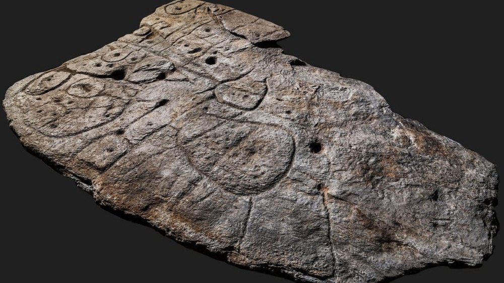
The Oldest 3D Map in Europe
By
Bronze Age slab found in France is the oldest 3D map in Europe A freshly unearthed Bronze-Age stone may be…
3 min read
321 reads
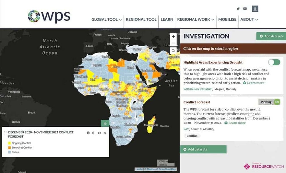
Preventing Violence With Geospatial Big Data
By
Violence, whether it is focused on individuals such as crime or at larger scales such as war, seems to be…
3 min read
1K reads

How Companies Use Geospatial Data?
By
The leaders of organizations rely on having the resources and intelligence that guide them toward making the right decisions at…
3 min read
519 reads

What’s The Difference Between Drone, UAV And…
By
When it comes to the different flying objects that you can control remotely, terms such as drones, UAV, and UAS…
3 min read
825 reads


