Aerial Mapping, Aerial SurveyingNews DeskDJI Dock 2 The Next Generation “Drone in a B…ByNews DeskDJI, renowned as a pioneer in civil drones and camera technology, is once again proving its reputation with the introduction… < 1 min read220 readsApril 15, 2024
Aerial Mapping, Aerial SurveyingEric LeeHow to Get High-Accuracy on Drone Mapping ByEric LeeFor all of us as a surveyor, accuracy is very important in drone mapping, photogrammetry, and aerial surveying. While GPS… 6 min read368 readsApril 3, 2024
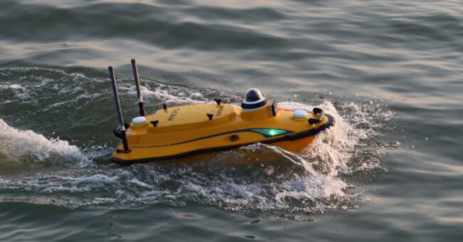
Bathymetry, Latest, News, SurveyingNews DeskDiscover the CHC Navigation Apache 3 Pro: Compact…ByNews DeskShanghai, China – November 24, 2023 – CHC Navigation (CHCNAV) introduced the Apache 3 Pro, a revolutionary compact hydrographic drone… 2 min read1K readsDecember 4, 2023
Aerial Mapping, LIDARNews DeskDrones Equipped with LiDAR Technology Uncover Unkn…ByNews DeskIntroduction In a groundbreaking discovery, archeologists have utilized a drone equipped with high-resolution LiDAR technology to uncover thousands of previously… 2 min read1K readsAugust 21, 2023
SGN ShowEmre AkdenizBenefits of using drone with a Lidar sensor with N…ByEmre AkdenizJoin us in our podcast as Nassim Doukkali from Yellowscan sheds light on the advantages of using drones equipped with… < 1 min read105 readsNovember 4, 2022
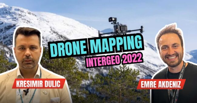
SGN ShowEmre AkdenizHow to choose a drone for surveying and photogramm…ByEmre AkdenizJoin us in our podcast with Kresimir Dulic from DJI walks us through the art of choosing a drone for… < 1 min read90 readsNovember 4, 2022
SGN ShowEmre AkdenizWhat is the difference between using an aircraft o…ByEmre AkdenizJoin us in our discussion with Alexander Wiechert, CEO of Vexcel Imaging, as we unravel the nuances of using aircraft… < 1 min read127 readsNovember 4, 2022
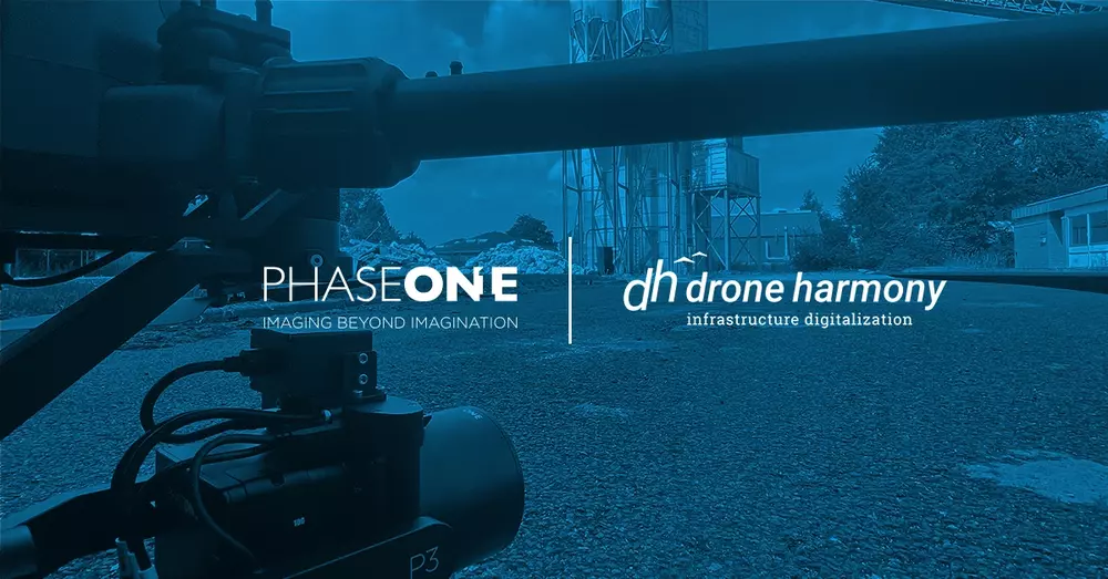
News, PhotogrammetryNews DeskPhase One and Drone Harmony announce collaboration…ByNews DeskJuly 14, 2022—Phase One, a pioneering provider of professional aerial cameras and Drone Harmony, a leader in automation software for… 2 min read422 readsJuly 16, 2022
NewsNews DeskWin a WingtraOne drone reserved for a good causeByNews DeskWingtra, one of the leading UAV producers, announced “Wingtra Earth Day Challenge” And yes, you could win a WingtraOne GEN… < 1 min read510 readsMarch 22, 2022
GIS & Mapping, PhotogrammetryNews DeskTop 5 Drone Mapping Softwares That You Will Need O…ByNews Desk1. DroneDeploy DroneDeploy is a user-friendly, cloud-based software that lets you capture, process, and analyze data all in one platform. You… 3 min read2K readsFebruary 28, 2022