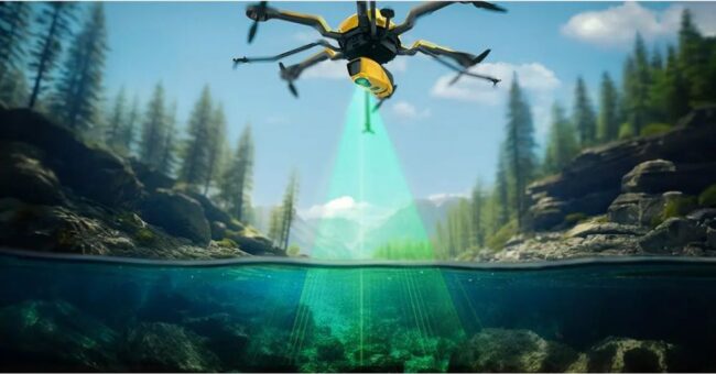
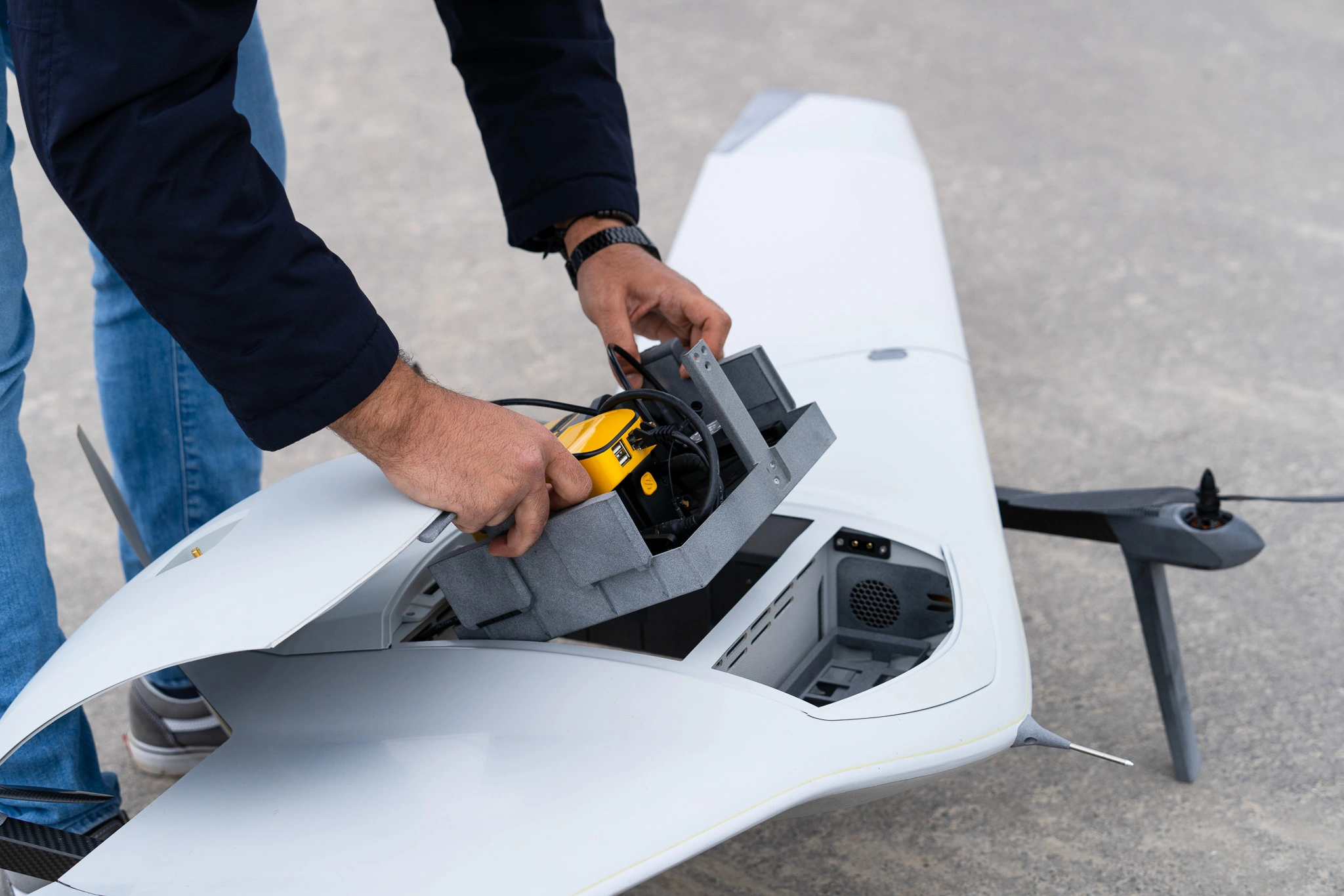
Partnering with LiDAR mapping solutions manufacturer, YellowScan, Dutch drone manufacturer DeltaQuad integrated a colorized LiDAR solution in their most recent…
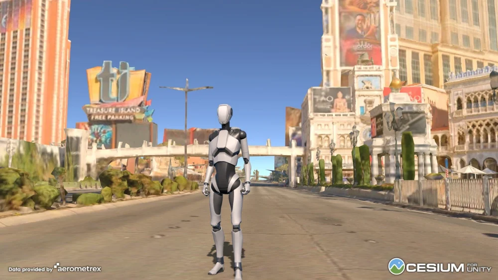
Cesium for Unity empowers Unity developers to create fully immersive and interactive metaverse apps, games, simulations, and experiences with accurate,…
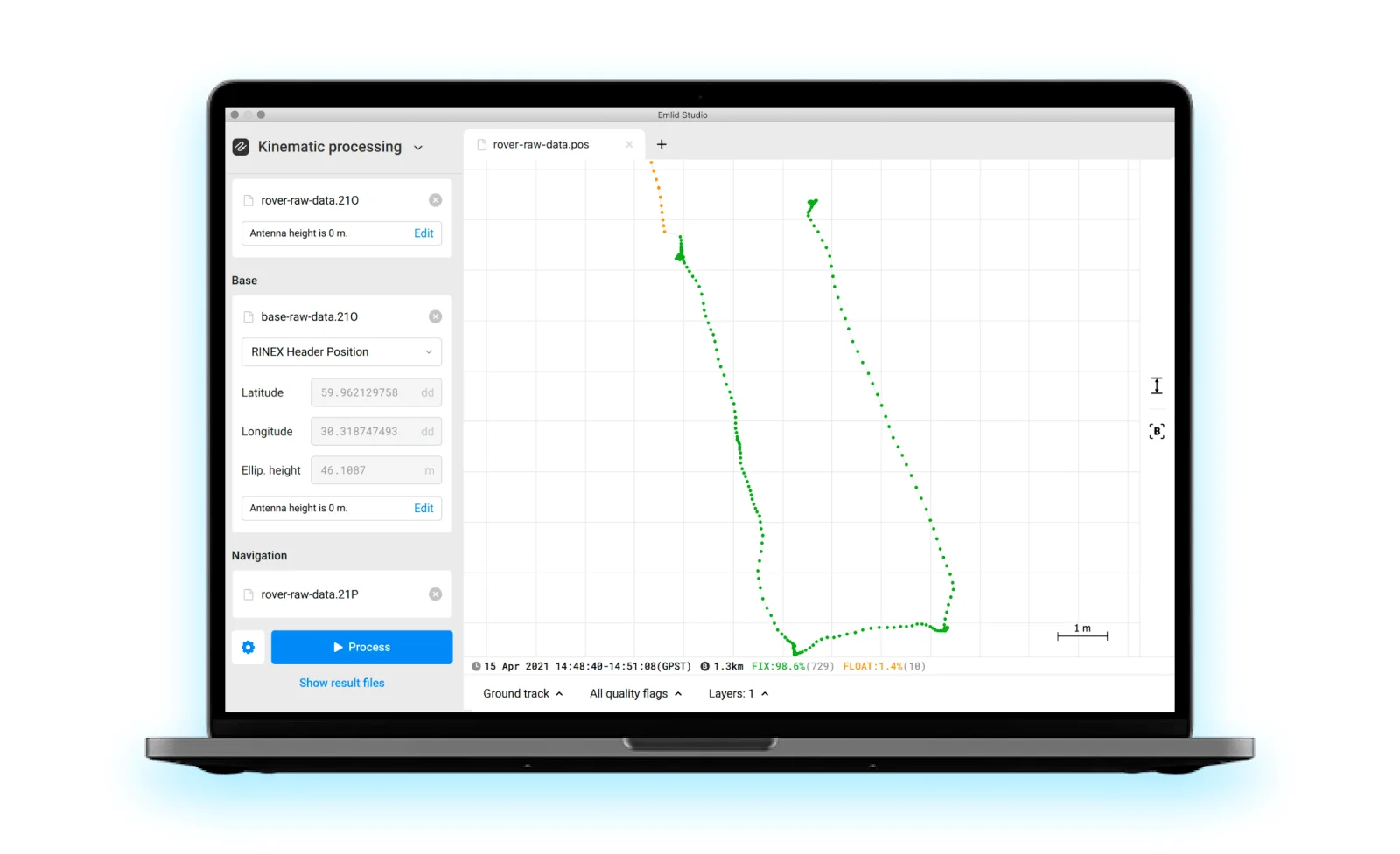
Emlid announced new PPK software—Emlid Studio. It’s a cross-platform desktop application designed specifically for post-processing GNSS data. The app is…