NewsEmre AKDENİZTop Rated 15 News Sites [Full List] You Can Find D…ByEmre AKDENİZAre you looking for an effective photogrammetry software or just want to hear latest lidar technology solutions or are curious… 4 min read513 readsJune 16, 2022
EVENTSNews Desk5 Reasons to attend GEO Business this MayByNews DeskWednesday 18 May marks the return of GEO Business. The two-day event is a must-attend for anyone who wants to… 5 min read334 readsApril 21, 2022
LIDARNews DeskLiDAR vs RADAR: What’s the Difference?ByNews DeskWhile the “LiDAR vs RADAR” question may seem confusing at first, the difference between the two isn’t incredibly complicated. We’d… 2 min read552 readsApril 5, 2022
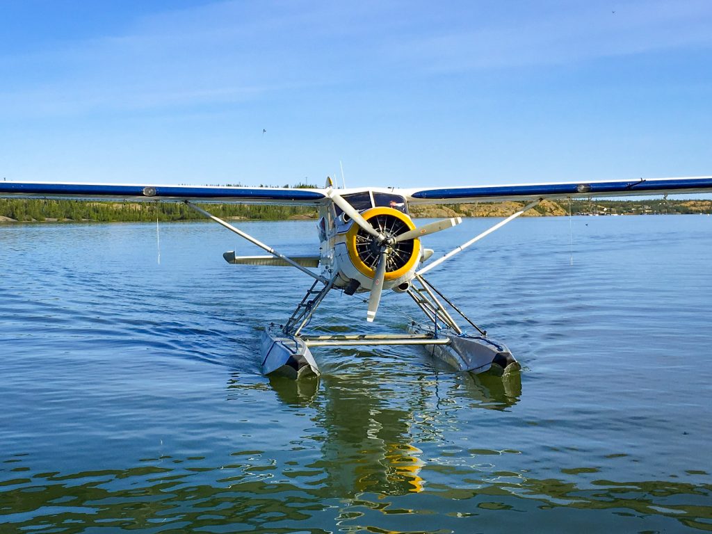
GIS & Mapping, PhotogrammetryNews DeskRenewed Interest in Manned Aerial MappingByNews DeskDespite a boom in the use of small unmanned aerial systems for surveying and mapping, manned systems have seen growth.… 6 min read451 readsMarch 17, 2022
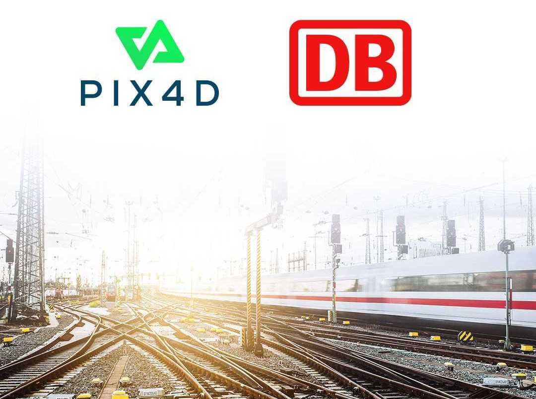
PhotogrammetryNews DeskPix4D Germany wins a competitive tender for Deutsc…ByNews DeskBerlin, Germany, [March 10, 2022] Pix4D is pleased to announce that it has been awarded a competitive tender for Deutsche… 2 min read308 readsMarch 14, 2022
LIDAREmre AkdenizWhat is LiDAR? How does it work?ByEmre AkdenizLIDAR system, which stands for “Light Detection and Ranging”, means that it sends out a light signal and waits for… < 1 min read1K readsMarch 7, 2022
GIS & MappingNews Desk5 Key Technology Trends for Construction Industry…ByNews DeskConstruction sites are the perfect place to experiment with new technology. As construction sites are constantly changing, there’s always something… 3 min read391 readsJanuary 11, 2022
PhotogrammetryNews DeskTerrasolid maps the world in 3D – 3D PluraView mon…ByNews DeskFor consistent and precise digital GIS and photogrammetry workflows, raw data must first be converted into integrable and thus valuable… 5 min read794 readsDecember 27, 2021
EVENTSNews DeskGeo Connect Asia 2022ByNews DeskSingapore, 16th December 2021 – International events organizer Montgomery Asia announces today that flagship geospatial and location intelligence industry trade… 3 min read329 readsDecember 22, 2021
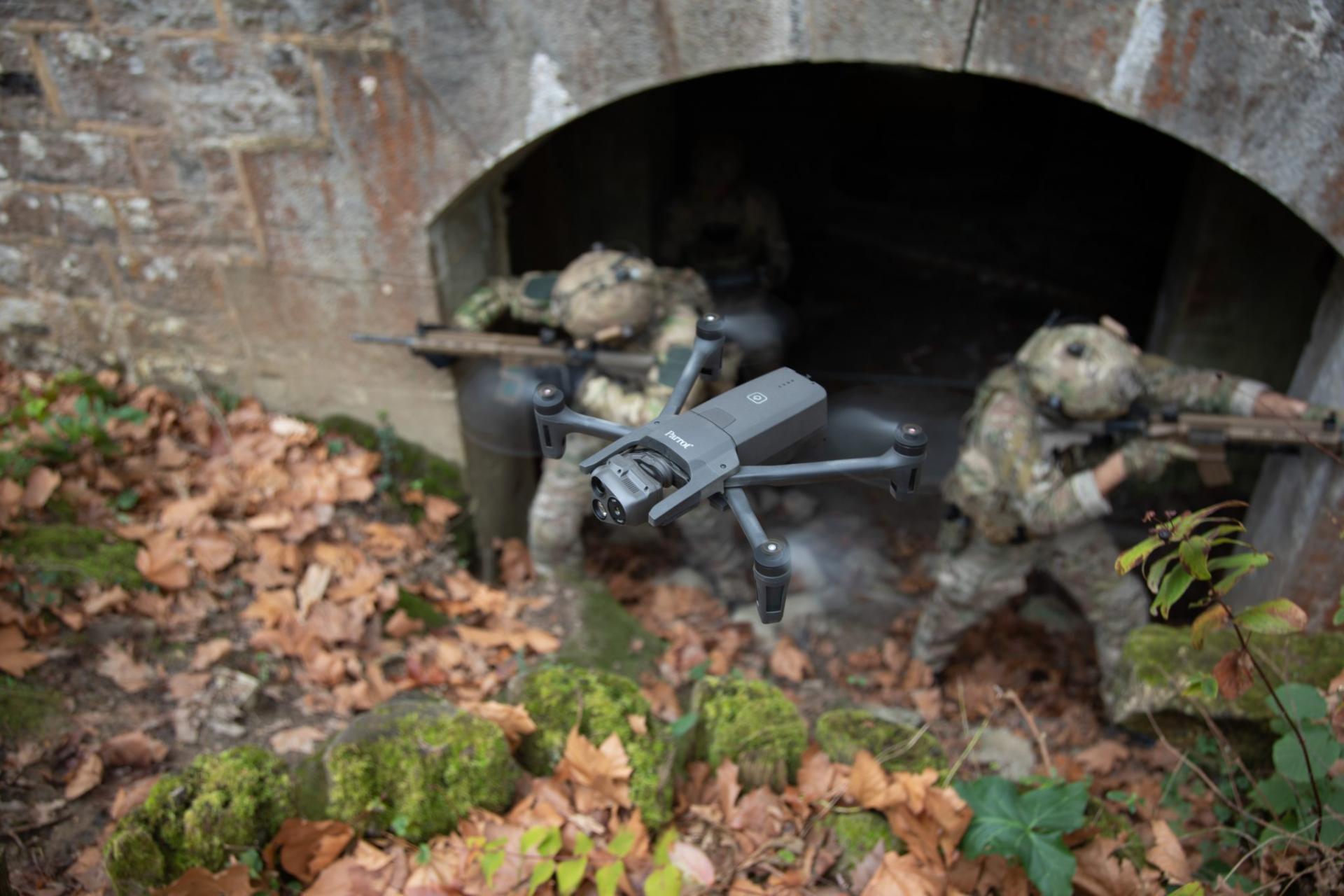
News, PhotogrammetryNews DeskThe first 4G connected robotic UAV is ready for wo…ByNews DeskParrot, the leading European drone company, is pleased to announce the forthcoming availability of its ANAFI Ai. The objective of the… < 1 min read357 readsDecember 15, 2021