GNSS SurveyNursinem Handan ŞAHANGPS-Aided Inertial Navigation Systems (INS) for Re…ByNursinem Handan ŞAHANThe latest progress in laser and microprocessor technologies have ignited an emerging generation of affordable and compact mapping solutions which… 3 min read937 readsSeptember 9, 2019
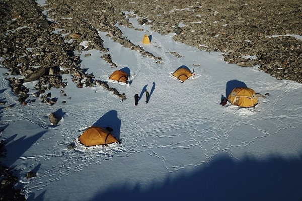
GIS & MappingNews DeskTracking the pace of the Pliocene and Last Intergl…ByNews DeskRecent ice sheet reconstructions and climate models indicate that the polar temperatures and global mean sea level were slightly higher… 4 min read726 readsSeptember 6, 2019
EVENTSEmre AkdenizSurveyingGroup GeoTalks’19ByEmre AkdenizSurveyinggroup is preparing to launch first event under the name GeoTalks’19 in Stuttgart, Germany. Take part in the event that… < 1 min read751 readsAugust 26, 2019
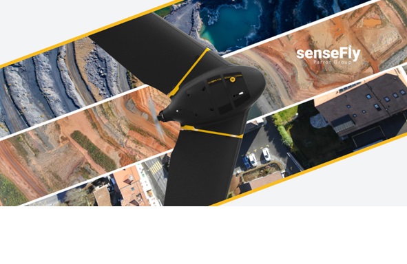
Aerial SurveyingEmre AKDENİZSenseFly’s Newest Product eBee XByEmre AKDENİZWe had a short interview with Sensefly marketing and communications manager Jessica Sader about her new products. We have learned… 3 min read1K readsDecember 16, 2018
News, PhotogrammetryEmre AKDENİZNew DJI Phantom 4 RTKByEmre AKDENİZLast week we were in Frankfurt to attend Intergeo 2018, the most important fair of the mapping industry. As a… 3 min read1K readsOctober 22, 2018
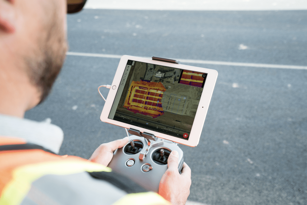
GIS & MappingEmre AKDENİZReal Time Thermal Map ProductionByEmre AKDENİZDroneDeploy, a photogrammetric map production platform, has made a name for itself in the sector with its latest work. “Thermal… 2 min read876 readsAugust 1, 2018
PhotogrammetryEmre AKDENİZ5 Steps, UAV Photogrametry Technique for BeginnersByEmre AKDENİZYou heard something about mapping with UAV / Drone, but you don’t know how and where to start? Then you’ve… 4 min read799 readsMarch 27, 2018
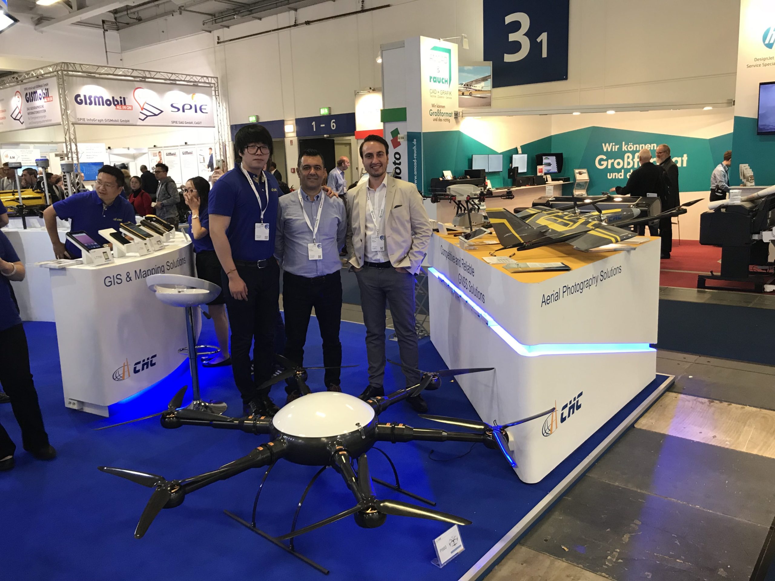
Surveying NewsEmre AKDENİZNew Year Surprises from CHCByEmre AKDENİZWe had a great conversation with Mr.Zhao, the founder of CHC. He also forwarded the signals of this year’s meeting… 3 min read753 readsJanuary 13, 2018